Feature Points
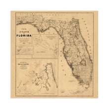
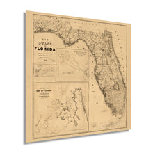
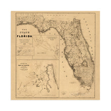
- VINTAGE MAP REPRODUCTION: You’ll love this high quality historic reproduction of 1846 Florida Map Poster. Our museum quality maps are archival grade, which means it will look great and last without fading for over 100 years. Our print to order maps are made in the USA and each map is inspected for quality. This beautiful artwork is a perfect addition to your themed decor. Vintage maps look great in the home, study or office. They make a perfect gift as well.
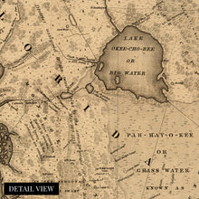
- MUSEUM QUALITY: This high quality map print will be a great addition to your vintage-themed wall. Don't waste money on cheap-looking, thin paper posters. We use thick, fine art print quality matte paper. Our professional’s choice matte paper displays artwork in high detail without glare. The color is vibrant and text is easy to read. When framed, this map looks absolutely stunning.
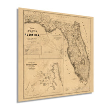
- A LOOK BACK AT HISTORY: This is an impressive, historic reproduction of 1846 Florida Map Poster. This print is from an original found in the maps and geography division of the US Library of Congress. A true piece of history. See our product description section for more fascinating information about this historic map and its significance.
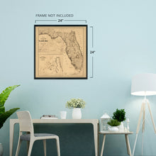
- READY TO FRAME: This print includes a 0.2 inch border for a perfect frame fit and look. Our maps are designed to fit easy-to-find standard frame sizes, saving you money from having to pay for a custom frame. Each map is inspected for quality and shipped in a rigid tube.
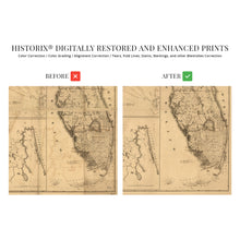
- HISTORIX: We love history and art. Sometimes old maps have tears, folds, separations and other blemishes. We digitally restore and enhance maps while keeping its historical character. All our maps are proudly made in the USA. Customers all over the world love our vintage maps and we know you will too.
Â
Additional Information
Distinguished by four distinct regions this 1846 map of the State of Florida shows a land in a time of both growth and transformation. The significance of these regions to the history of the state is unique in that East Florida and West Florida were merged into a territory in 1822. Disputes with Spain and indigenous peoples continued throughout Middle Florida and South Florida. With the annexation of East and West Florida the territories were finally unified and Florida became the 27th state in 1845.
This was the first registered map depicting Florida as a unified state and includes borders with Georgia and Alabama showing the nation emerging into something recognizable as modern American geography. Home to Everglades National Park, the largest protected wilderness area east of the Mississippi, Florida has always been renowned as an outdoorsman’s paradise. Florida is also the site of the Ernest Hemingway Home and Museum as the noted author made his home in the Florida Keys for more than a decade and wrote some of his most important works there. The museum attracts visitors from across the globe and is still home to his famous five toed cats.
Our museum quality, restored map is printed with archival ink on heavy matte stock and comes ready to frame in a sturdy cardboard tube ensuring safe travel and 100% satisfaction. This is the perfect gift for the outdoorsman, Hemingway fan, or historian in your life and makes the perfect addition to any office, lodge, library, or classroom.


