Feature Points
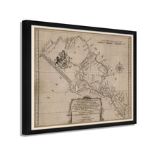
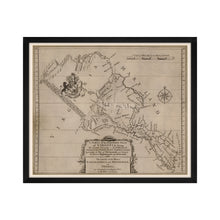
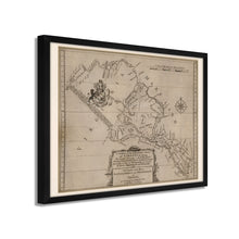
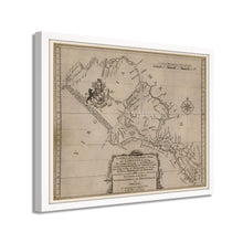
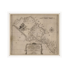
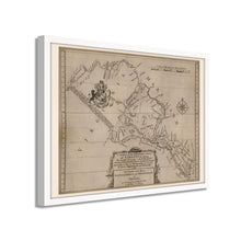
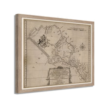
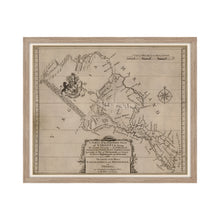
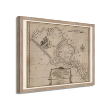
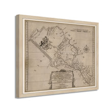
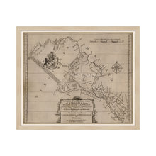
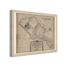
- VINTAGE MAP FRAMED: You’ll love this high-quality framed historic reproduction of 1747 Northern Neck Virginia Map. Our ready-to-hang maps are printed and framed in the USA by professional art framers using the highest quality materials. Each order is inspected for quality. This beautiful artwork is a perfect addition to your themed decor. Vintage maps look great in the home, study or office. They also make an unforgettable gift.Â
- A LOOK BACK AT HISTORY: This is an impressive, historic reproduction of 1747 Wall Map of Virginia. A true piece of history. Historic prints beautifully link the past with the present. You may find yourself staring at your historic wall art for hours in amazement. See our product description section for more fascinating information about this historic map and its significance.
- PREMIUM QUALITY: To display this amazing piece of history, we use museum-quality heavyweight (230gsm), fine art print matte paper. Our paper is acid-free which allows the print to retain its color quality for generations. Our paper displays vintage map art with accurate color reproduction. This high quality print will be a wonderful addition to your vintage-themed wall.
- READY TO HANG: This high-quality frame displays art beautifully in almost any environment. The frame is made out of poplar wood (for black and white) and pine wood (for walnut and natural) with a matte finish. The frame profile is 1.5 inches high and 0.75 (for size 18x24) and 1.125 (for size 24x36) inches wide. To protect artwork, we use high-quality, lightweight, shatter-resistant frame-grade acrylic. Frames arrive ready-to-hang, preinstalled with hanging hardware.
- HISTORIC PRINTS: We love history and art. Sometimes old maps have tears, folds, stamps, separations and other blemishes. We digitally restore and enhance maps while keeping its historical character. Our framed prints are made-to-order in the USA by professional art framers. Customers all over the world love our historic prints and we know you will too.
Additional Information
Published in 1747, this rare piece of cartographical history depicts Northern Virginia at a time of formative colonization and establishment. Tobacco had become a profitable crop, and the region relied heavily on its cultivation and export to Europe. Tobacco became Virginia’s saving grace and saved the colony from near failure after several attempts to colonize the region had ended, including the infamous Jamestown expedition.
Tensions between French settlers and British colonists eventually led to outright conflict and battle, and the French and Indian Wars would break out seven years after this publication. The war would be waged for nearly a decade with the heavily outnumbered French settler relying on bolstered forces through alliances with local tribes.Â
Produced from existing surveys, Englishman Lord Thomas Fairfax compiled this information to depict geographic features and relief. The recording of counties and borders gives historians a unique glimpse into how the evolution of the region would occur and expand. Fairfax was part of the English aristocracy as well as a distant relative of George Washington. His land holdings in Virginia were vast, and during a visit to survey them, he was acquainted with a 16-year-old Washington, and the two developed a close bond until Fairfax’s death. His legacy remains in the region with both a city and county bearing his name.
The idiomatic description as the ‘northern neck’ remains in use for the region today, and this is truly an authentic piece of American history, which transports the viewer back in time.
Our ready-to-hang wall art are printed and framed in the USA using the highest quality materials with professional craftsmanship. This beautiful artwork is a perfect addition to your themed decor. Historic prints look great in the home, study or office. They also make an unforgettable gift.


