Feature Points
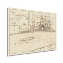
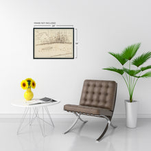
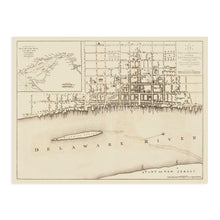
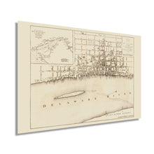
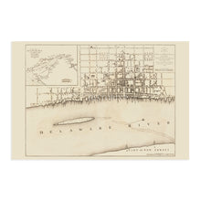
- VINTAGE MAP REPRODUCTION: You’ll love this high quality historic reproduction of 1776 Philadelphia Pennsylvania Map. Our museum quality prints are archival grade, which means it will look great and last without fading for over 100 years. Our print to order maps are made in the USA and each map is inspected for quality. This beautiful artwork is a perfect addition to your themed decor. Vintage maps look great in the home, study or office. They make a perfect gift as well.
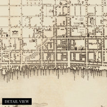
- MUSEUM QUALITY: This high quality map print will be a great addition to your vintage-themed wall. Don't waste money on cheap-looking, thin paper posters. We use thick, fine art print quality matte paper. Our professional’s choice matte paper displays artwork in high detail without glare. The color is vibrant and text is easy to read. When framed, this map looks absolutely stunning.
- A LOOK BACK AT HISTORY: This is an impressive, historic reproduction of 1776 Philadelphia Wall Map. A true piece of history. See our product description section for more fascinating information about this historic map and its significance.
- READY TO FRAME: This print includes a 0.2 inch border for a perfect frame fit and look. Our maps are designed to fit easy-to-find standard frame sizes, saving you money from having to pay for a custom frame. Each map is inspected for quality and shipped in a rigid tube.
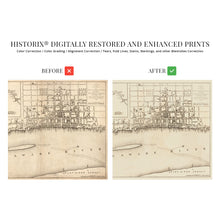
- HISTORIX: We love history and art. Sometimes old maps have tears, folds, separations and other blemishes. We digitally restore and enhance maps while keeping its historical character. All our maps are proudly made in the USA. Customers all over the world love our vintage maps and we know you will too.
Additional Information
Published in the same year as the Founding Fathers signed the Declaration of Independence, this early depiction of Philadelphia is a historically significant piece of early American cartographic history. Europeans began settling the region in the early seventeenth century, with Dutch colonies being established on the banks of the Delaware River. These initial settlements were followed by immigrants from Sweden, Finland, and England who would develop a peaceful relationship with surrounding indigenous peoples, resulting in Philadelphia's rapid growth and prosperity through the following centuries. By the time of this publication, it was the most influential American city.Â
Both its political, cultural, and economic significance as well as its geographic location made it the center for American Revolutionary forces both during and leading up to the Revolutionary War. The city was the site of several battles during the conflict, and British General Howe occupied the city in 1777. By the 1750s, Philadelphia had surpassed Boston to become the largest city with a thriving port that exported goods back to England. Philadelphia was the United States capital from 1790 to 1800 as the District of Columbia was under construction.Â
Benjamin Easburn was a noted surveyor of the time, and this map's minimal aesthetic and classic style distinguishes it from more ornate works of the time. The late eighteenth century was perhaps the most formative period for what would become the United States as it gained independence from Colonial British rule and embarked on a bold path of democratic governance and increased prosperity.
Our museum quality giclee print comes printed with archival ink on premium heavyweight matte paper. Shipped in a sturdy cardboard tube your print will arrive ready to be framed. This eye-catching vintage map reproduction print makes the perfect gift for anyone that loves history and imagery.


