Feature Points
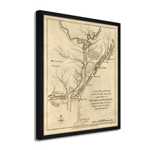
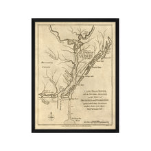
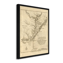
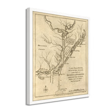
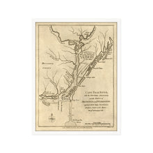
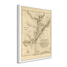
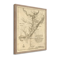
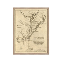
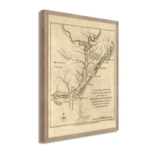
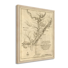
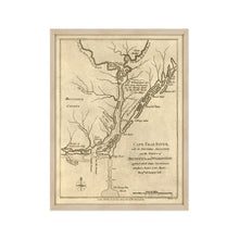
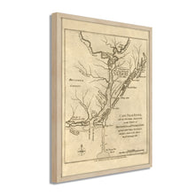
- VINTAGE MAP FRAMED: You’ll love this high-quality framed historic reproduction of 1781 Cape Fear River Map of NC Poster. Our ready-to-hang maps are printed and framed in the USA by professional art framers using the highest quality materials. Each order is inspected for quality. This beautiful artwork is a perfect addition to your themed decor. Vintage maps look great in the home, study or office. They also make an unforgettable gift.
- A LOOK BACK AT HISTORY: This is an impressive, historic reproduction of 1781 Framed North Carolina Map. A true piece of history. Historic prints beautifully link the past with the present. You may find yourself staring at your historic wall art for hours in amazement. See our product description section for more fascinating information about this historic map and its significance
- PREMIUM QUALITY: To display this amazing piece of history, we use museum-quality heavyweight (230gsm), fine art print matte paper. Our paper is acid-free which allows the print to retain its color quality for generations. Our paper displays vintage map art with accurate color reproduction. This high quality print will be a wonderful addition to your vintage-themed wall.
- READY TO HANG: This high-quality frame displays art beautifully in almost any environment. The frame is made out of poplar wood (for black and white) and pine wood (for walnut and natural) with a matte finish. The frame profile is 1.5 inches high and 0.75 (for size 18x24) and 1.125 (for size 24x36) inches wide. To protect artwork, we use high-quality, lightweight, shatter-resistant frame-grade acrylic. Frames arrive ready-to-hang, preinstalled with hanging hardware.
- HISTORIC PRINTS: We love history and art. Sometimes old maps have tears, folds, stamps, separations and other blemishes. We digitally restore and enhance maps while keeping its historical character. Our framed prints are made-to-order in the USA by professional art framers. Customers all over the world love our historic prints and we know you will too.
Â
Additional Information
Noted publisher of the late 18th century, John Bew produced this map of the Cape Fear region, and what is considered one of the earliest cartographical depictions of the area. Centered around Wilmington, the region was central to the economy of what would become North Carolina with the bustling port allowing for merchants and traders to develop thriving businesses.
Published during the American Revolution, maps of this nature were popular for Europeans who were closely following the revolt and clashes between the Continental Army and British forces. While Wilmington remained under British control, the region remained relatively peaceful throughout the conflict. British General Cornwallis kept vast reserves of troops in the area, though the state residents largely favored American independence. The Sons of Liberty formed in Wilmington to protest the British Stamp Act in one of the earliest acts of resistance leading to the Revolution.
North Carolina was home to one of the most consequential British losses in the Revolution at the Battle of Cowan's Ford, where though they held their position, the casualties the British suffered would ultimately lead to Cornwallis' retreat and surrender in 1781. This surrender is considered the tipping point in the American Revolution and nearly guaranteed the Continental victory.
The region's importance as a port lasted throughout the 18th and 19th centuries and remains an important economic driver to this day. The unique aesthetic and early production of this illustration immediately transports the viewer back in time and is truly an authentic piece of cartographical history.
Our ready-to-hang wall art are printed and framed in the USA using the highest quality materials with professional craftsmanship. This beautiful artwork is a perfect addition to your themed decor. Historic prints look great in the home, study or office. They also make an unforgettable gift.


