Feature Points
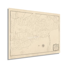
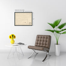
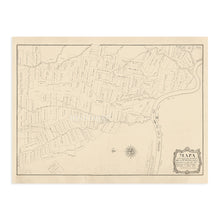
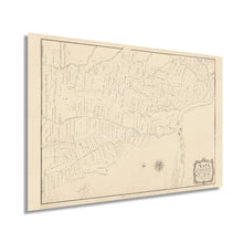
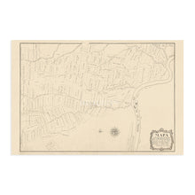
- VINTAGE MAP REPRODUCTION: You’ll love this high quality historic reproduction of 1799 West Feliciana Parish Louisiana Map. Our museum quality prints are archival grade, which means it will look great and last without fading for over 100 years. Our print to order maps are made in the USA and each map is inspected for quality. This beautiful artwork is a perfect addition to your themed decor. Vintage maps look great in the home, study or office. They make a perfect gift as well.
- MUSEUM QUALITY: This high quality map print will be a great addition to your vintage-themed wall. Don't waste money on cheap-looking, thin paper posters. We use thick, fine art print quality matte paper. Our professional’s choice matte paper displays artwork in high detail without glare. The color is vibrant and text is easy to read. When framed, this map looks absolutely stunning.
- A LOOK BACK AT HISTORY: This is an impressive, historic reproduction of 1799 West Feliciana Parish Map of Louisiana. A true piece of history. See our product description section for more fascinating information about this historic map and its significance.
- READY TO FRAME: This print includes a 0.2 inch border for a perfect frame fit and look. Our maps are designed to fit easy-to-find standard frame sizes, saving you money from having to pay for a custom frame. Each map is inspected for quality and shipped in a rigid tube.
- HISTORIX: We love history and art. Sometimes old maps have tears, folds, separations and other blemishes. We digitally restore and enhance maps while keeping its historical character. All our maps are proudly made in the USA. Customers all over the world love our vintage maps and we know you will too.
Additional Information
Produced by prominent Spanish cartographer, engineer, military officer, and land surveyor Vicente Sebastián Pintado, this early representation of the West Feliciana Parish provides the viewer a glimpse back to its early settlement. Situated on the banks of the Mississippi River, West Feliciana came under Spanish control in the 1780s during the American Revolution. Following the Louisiana Purchase in 1803, the United States declared the parish part of the territory acquired under the land deal. Feliciana Parish was established in 1810 as part of the Territory of Orleans, which would become Louisiana two years later while being admitted to the United States.Â
Pintado produced numerous surveys thorough the eighteenth and nineteenth centuries compiling these surveys into maps to be used for geo-political, property ownership, and land grants. He created a large body of work and was active for nearly four decades in the Americas. Pintado was appointed Mayor of nearby Bayou Sara in the year following this maps publication. The Feliciana Parish was divided between east and west in 1824 as the region was experiencing significant growth and transitioning into part of the Baton Rouge metropolitan area.Â
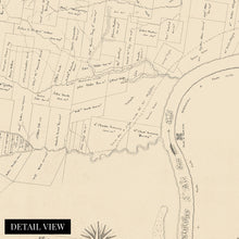
While the significant importing and exporting in New Orleans' busy port to the South drove economic growth throughout the region, this map's minimal aesthetic and distinctive style make it an authentic piece of early American cartographical history. Pintado's attention to detail and property ownership is utilized by genealogists and historians to develop the region's evolution and immediately transports the viewer back in time.
Our museum quality giclee print comes printed with archival ink on premium heavyweight matte paper. Shipped in a sturdy cardboard tube your print will arrive ready to be framed. This eye-catching vintage map reproduction print makes the perfect gift for anyone that loves history and imagery.


