Feature Points
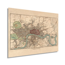
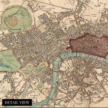
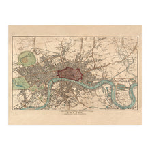
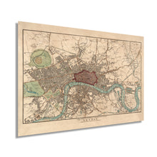
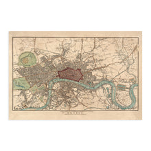
- VINTAGE MAP REPRODUCTION: You’ll love this high quality historic reproduction of 1815 London Map Poster. Our museum quality maps are archival grade, which means it will look great and last without fading for over 100 years. Our print to order maps are london wall artmade in the USA and each map is inspected for quality. This beautiful artwork is a perfect addition to your themed decor. Vintage maps look great in the home, study or office. They make a perfect gift as well.
- MUSEUM QUALITY: This high quality map print will be a great addition to your vintage-themed wall. Don't waste money on cheap-looking, thin paper posters. We use thick, fine art print quality matte paper. Our professional’s choice matte paper displays artwork in high detail without glare. The color is vibrant and the text is easy to read. When framed, this map looks absolutely stunning.
- A LOOK BACK AT HISTORY: This is an impressive, historic reproduction of 1815 Map of London Wall Art. This print is from an original found in the Lionel Pincus and Princess Firyal Map Division in The New York Public Library. A true piece of history. See our product description section for more fascinating information about this historic map and its significance.
- READY TO FRAME: This print includes a 0.2 inch border for a perfect frame fit and look. Our maps are designed to fit easy-to-find standard frame sizes, saving you money from having to pay for a custom frame. Each map is inspected for quality and shipped in a rigid tube.
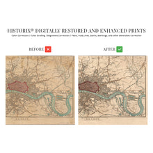
- HISTORIX: We love history and art. Sometimes old maps have tears, folds, separations and other blemishes. We digitally restore and enhance maps while keeping its historical character. All our maps are proudly made in the USA. Customers all over the world love our vintage maps and we know you will too.
Â
Additional Information
Produced in the year following the conclusion of the War of 1812, this stunning depiction of the World’s largest city at the time portrays London in a period of cultural, economic, and political transformation. London was the heart of international trade and commerce. During the early nineteenth century, railroad lines sprung out of the city into rural England, allowing greater access for the transport of goods as well as the ability for country dwellers to flock to the city in search of work in the many manufacturing plants, docks, and other industries. Its port was the largest in the World, and with the British empire spanning the globe, goods from nearly every corner of the earth were traded throughout the city.
Shipbuilding was also an important economic driver with numerous builders producing massive sailing vessels on the River Thames. Published during the Georgian Era London’s culture was known for lavish feasts, bold fashion and was the period when the Industrial Revolution began. This period also saw the emergence of a wealthy middle class that began to gain political influence even amidst the Monarchy’s control.
Perhaps no other city is as iconic as London, and this period of transition would define the next century. As industrialization spread and the Monarchy shifted from the Hanoverian Kings to the Victorian Era, Britain’s influence was felt throughout the World. This map immediately transports the viewer back in time. Produced with great detail, this is truly an authentic piece of cartographical and World history.
Our museum quality giclee print comes printed with archival ink on premium heavyweight matte paper. Shipped in a sturdy cardboard tube your print will arrive ready to be framed. This eye-catching vintage map reproduction print makes the perfect gift for anyone that loves history and imagery.


