Feature Points
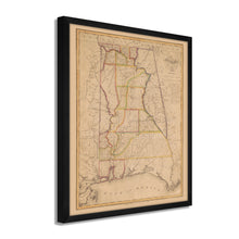
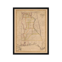
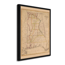
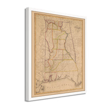
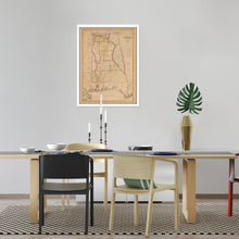
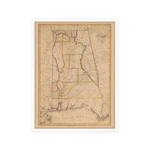
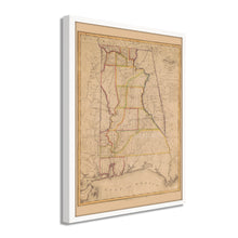
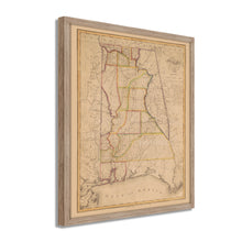
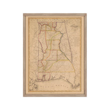
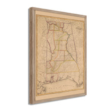
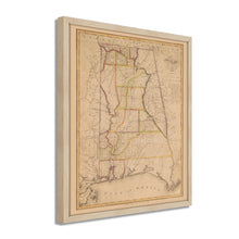
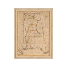
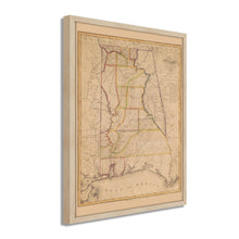
- VINTAGE MAP FRAMED: You’ll love this high-quality framed historic reproduction of  1819 State of Alabama Map. Our ready-to-hang maps are printed and framed in the USA by professional art framers using the highest quality materials. Each order is inspected for quality. This beautiful artwork is a perfect addition to your themed decor. Vintage maps look great in the home, study or office. They also make an unforgettable gift.Â
- A LOOK BACK AT HISTORY: This is an impressive, historic reproduction of 1819 Wall Map of Alabama. A true piece of history. Historic prints beautifully link the past with the present. You may find yourself staring at your historic wall art for hours in amazement. See our product description section for more fascinating information about this historic map and its significance.
- PREMIUM QUALITY: To display this amazing piece of history, we use museum-quality heavyweight (230gsm), fine art print matte paper. Our paper is acid-free which allows the print to retain its color quality for generations. Our paper displays vintage map art with accurate color reproduction. This high quality print will be a wonderful addition to your vintage-themed wall.
- READY TO HANG: This high-quality frame displays art beautifully in almost any environment. The frame is made out of poplar wood (for black and white) and pine wood (for walnut and natural) with a matte finish. The frame profile is 1.5 inches high and 0.75 (for size 18x24) and 1.125 (for size 24x36) inches wide. To protect artwork, we use high-quality, lightweight, shatter-resistant frame-grade acrylic. Frames arrive ready-to-hang, preinstalled with hanging hardware.
- HISTORIC PRINTS: We love history and art. Sometimes old maps have tears, folds, stamps, separations and other blemishes. We digitally restore and enhance maps while keeping its historical character. Our framed prints are made-to-order in the USA by professional art framers. Customers all over the world love our historic prints and we know you will too.
Â
Additional Information
Produced and published by prolific and prominent early American cartographer John Melish, this depiction of Alabama in the early nineteenth century bears a remarkable aesthetic and distinctive style. Scottish born, Melish produced the first map of the United States to extend to the Pacific Ocean in 1816. Melish was based in Philadelphia and is considered one of the most influential cartographers of the early nineteenth century. His map of the United States from coast to coast was influential in the theory of Manifest Destiny.Â
This map was published the same year that Alabama achieved statehood and immediately transports the viewer back in time. The region was mostly agrarian and would remain so for most of its history. Due to a shortage of federal funding, many state banks were established, issuing bonds and selling public lands to secure financing and capital. While farming was the primary economic driver, Birmingham would eventually become known for its steel production.
The region had been settled by the Spanish since the 1500s, and Mobile was the original capital of Louisiana before the state was admitted to the Union. These southern ports were critical for the development of the early nineteenth century and would prove vital for the Union’s defeat of the Confederacy in the Civil War. Melish’s depiction of Alabama shows the state in a time of growth and transformation. One of the cultural centers of the American South, Alabama, is shown here as it transforms into one of the major agricultural producers in America.
Our ready-to-hang wall art are printed and framed in the USA using the highest quality materials with professional craftsmanship. This beautiful artwork is a perfect addition to your themed decor. Historic prints look great in the home, study or office. They also make an unforgettable gift.


