Feature Points
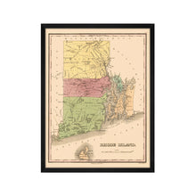
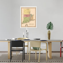
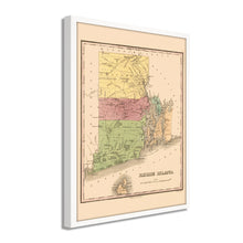
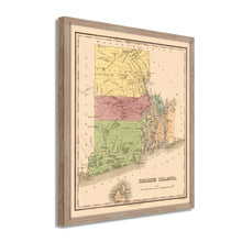
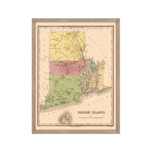
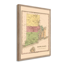
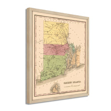
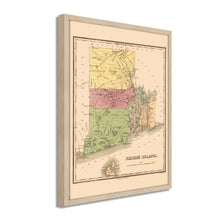
- VINTAGE MAP FRAMED: You’ll love this high-quality framed historic reproduction of 1829 Rhode Island State Map. Our ready-to-hang maps are printed and framed in the USA by professional art framers using the highest quality materials. Each order is inspected for quality. This beautiful artwork is a perfect addition to your themed decor. Vintage maps look great in the home, study or office. They also make an unforgettable gift.Â
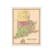
- A LOOK BACK AT HISTORY: This is an impressive, historic reproduction of 1829 Framed Map of Rhode Island. A true piece of history. Historic prints beautifully link the past with the present. You may find yourself staring at your historic wall art for hours in amazement. See our product description section for more fascinating information about this historic map and its significance.
- PREMIUM QUALITY: To display this amazing piece of history, we use museum-quality heavyweight (230gsm), fine art print matte paper. Our paper is acid-free which allows the print to retain its color quality for generations. Our paper displays vintage map art with accurate color reproduction. This high quality print will be a wonderful addition to your vintage-themed wall.
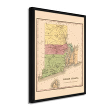
- READY TO HANG: This high-quality frame displays art beautifully in almost any environment. The frame is made out of poplar wood (for black and white) and pine wood (for walnut and natural) with a matte finish. The frame profile is 1.5 inches high and 0.75 (for size 18x24) and 1.125 (for size 24x36) inches wide. To protect artwork, we use high-quality, lightweight, shatter-resistant frame-grade acrylic. Frames arrive ready-to-hang, preinstalled with hanging hardware.
- HISTORIC PRINTS: We love history and art. Sometimes old maps have tears, folds, stamps, separations and other blemishes. We digitally restore and enhance maps while keeping its historical character. Our framed prints are made-to-order in the USA by professional art framers. Customers all over the world love our historic prints and we know you will too.
Additional Information
Produced by prolific American cartographer and publisher Anthony Finley, this depiction of the smallest state in the Union shows it in a period of great prosperity and growth. Finley’s maps and atlases were popular during the period for their detail and distinctive aesthetic. By 1829 Rhode Island had experienced an immense period of growth due to the industrial revolution, and the state had developed a prosperous manufacturing economy with cities attracting immigrants from Northern Europe and Ireland due to famine and civil unrest, respectively. The water-powered mills in Rhode Island created a high demand for workers, and cities were densely populated as communities were established. By the 1820s, Providence was one of the most important manufacturing cities in the United States.
Rhode Island was the last of the 13 original colonies to ratify the Constitution and experienced relative peace during the American Revolution as British forces focused their efforts on New York. Though, Newport was occupied by British troops in 1877 before they started their campaign south.Â
Rhode Island joined the United States in 1790 and, similar to the ratification of the Constitution, was the last of the original colonies to join, indicating its deeply independent spirit. By the 1830s, many of those working in the factories and mills demanded voting reform as the state was still governed under its charter established in 1663, which required land ownership as the minimum standard for voting. This map immediately transports the viewer back in time and truly an authentic piece of cartographical history.
Our ready-to-hang wall art are printed and framed in the USA using the highest quality materials with professional craftsmanship. This beautiful artwork is a perfect addition to your themed decor. Historic prints look great in the home, study or office. They also make an unforgettable gift.


