Feature Points
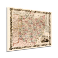
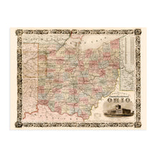
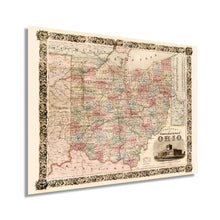
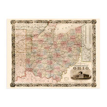
- VINTAGE MAP REPRODUCTION: You’ll love this high quality historic reproduction of 1851 State of Ohio Map. Our museum quality maps are archival grade, which means it will look great and last without fading for over 100 years. Our print to order maps are made in the USA and each map is inspected for quality. This beautiful artwork is a perfect addition to your themed decor. Vintage maps look great in the home, study or office. They make a perfect gift as well.
- MUSEUM QUALITY: This high quality map print will be a great addition to your vintage-themed wall. Don't waste money on cheap-looking, thin paper posters. We use thick, fine art print quality matte paper. Our professional’s choice matte paper displays artwork in high detail without glare. The color is vibrant and text is easy to read. When framed, this map looks absolutely stunning.
- A LOOK BACK AT HISTORY: This is an impressive, historic reproduction of 1851 State of Ohio Map. This print is from an original found in the maps and geography division of the US Library of Congress. A true piece of history. See our product description section for more fascinating information about this historic map and its significance.
- READY TO FRAME: This print includes a 0.2 inch border for a perfect frame fit and look. Our maps are designed to fit easy-to-find standard frame sizes, saving you money from having to pay for a custom frame. Each map is inspected for quality and shipped in a rigid tube.
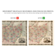
- HISTORIX: We love history and art. Sometimes old maps have tears, folds, separations and other blemishes. We digitally restore and enhance maps while keeping its historical character. All our maps are proudly made in the USA. Customers all over the world love our vintage maps and we know you will too.
Â
Additional Information
Published by prolific American cartographer JH Colton this detailed map of Ohio is indicative of Colton’s unique aesthetic and quality productions. His steel plate engravings were hand-painted and were considered higher quality than maps produced with wax engravings. His works are even featured in the Smithsonian Museum of Art, and their distinctive borders are unique to Colton maps.
By 1851 Ohio was becoming an industrial powerhouse of the Midwest and was experiencing a tremendous amount of growth and development. The steel industry was thriving, and the discovery of coal in the middle of the century led to further expansion. By 1853 Ohio was the third-largest producer of iron and steel in the country.
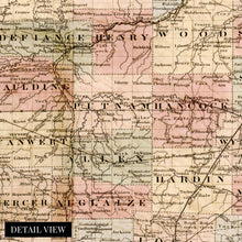
Township maps represented census data and enable genealogists and historians to develop the history and evolution of regions. Ohio experienced flocks of immigrants throughout the early 19th century to work in the numerous iron and steel furnaces. Thriving meat processing, tobacco plants, and a robust oil industry bolstered the economy, and Cleveland would eventually produce the world’s first billionaire John D. Rockefeller.
1851 also saw Ohio adopt a new state constitution that established the legislative, executive, and judiciary branches of the state government. The constitution also endowed the right to citizens to vote for the Governor.
This depiction portrays Ohio in a time of great prosperity, and the state would also serve as one of the most important places during the Civil War a decade later, this is truly an authentic piece of cartographical history.
Our museum quality giclee map of Ohio wall art print comes printed with archival ink on premium heavyweight matte paper. Shipped in a sturdy cardboard tube your vintage map Ohio print will arrive ready to be framed. This eye-catching vintage Ohio map reproduction print makes the perfect gift / Ohio office decor for anyone that loves history and imagery.


