Feature Points
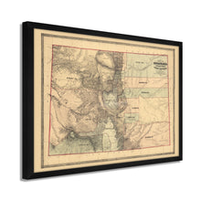
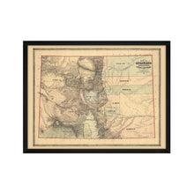
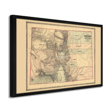
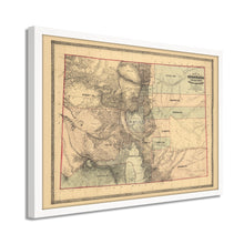
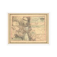
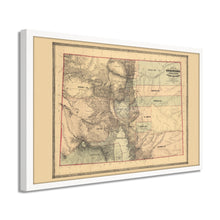
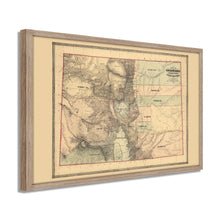
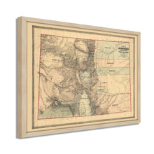
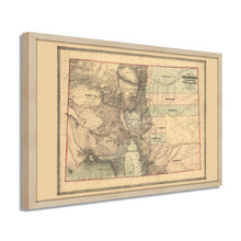
- VINTAGE MAP FRAMED: You’ll love this high-quality framed historic reproduction of 1862 Colorado Territory Map. Our ready-to-hang maps are printed and framed in the USA by professional art framers using the highest quality materials. Each order is inspected for quality. This beautiful artwork is a perfect addition to your themed decor. Vintage maps look great in the home, study or office. They also make an unforgettable gift.Â
- A LOOK BACK AT HISTORY: This is an impressive, historic reproduction of 1862 State Map of Colorado Poster. A true piece of history. Historic prints beautifully link the past with the present. You may find yourself staring at your historic wall art for hours in amazement. See our product description section for more fascinating information about this historic map and its significance.
- PREMIUM QUALITY: To display this amazing piece of history, we use museum-quality heavyweight (230gsm), fine art print matte paper. Our paper is acid-free which allows the print to retain its color quality for generations. Our paper displays vintage map art with accurate color reproduction. This high quality print will be a wonderful addition to your vintage-themed wall.
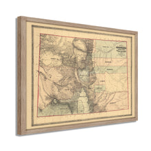
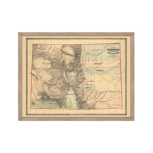
- READY TO HANG: This high-quality frame displays art beautifully in almost any environment. The frame is made out of poplar wood (for black and white) and pine wood (for walnut and natural) with a matte finish. The frame profile is 1.5 inches high and 0.75 (for size 18x24) and 1.125 (for size 24x36) inches wide. To protect artwork, we use high-quality, lightweight, shatter-resistant frame-grade acrylic. Frames arrive ready-to-hang, preinstalled with hanging hardware.
- HISTORIC PRINTS: We love history and art. Sometimes old maps have tears, folds, stamps, separations and other blemishes. We digitally restore and enhance maps while keeping its historical character. Our framed prints are made-to-order in the USA by professional art framers. Customers all over the world love our historic prints and we know you will too.
Additional Information
Published by prominent Baltimore-based Jacob Monk, this unique depiction of Colorado's gold-rich territories was produced at the height of the territories' first Gold Rush, which the discoveries at Pike's Peak in 1858. Eager prospectors flocked from the East, South, Ireland, and Western Europe to work in vast mines throughout the Rocky Mountains, and towns emerged around these mining camps as demand for supplies grew, and merchants established lucrative businesses.Â
Railroads had increased access to the western portion of the United States, which had been ceded the regions from Texas to California from Mexico following their defeat in the Mexican-American War in 1848. This resulted in a contiguous border from the Atlantic to Pacific Oceans and was the culmination of years of effort by the United States to control the Western territories. Though the territory would not achieve statehood until 1876, there was a growing effort within the Colorado Territory to become part of the United States. The United States, for its part, wanted to retain Union control over the Colorado territory as the country headed towards Civil War. The vast mineral reserves were invaluable to the United States' efforts during the Civil War, and Colorado remained under Union control throughout the conflict.
This stunning depiction instantly transports the viewer back in time and is an authentic piece of American cartographical history. The rich history of Colorado and the iconic Rocky Mountains have created some of the most recognizable images in the American West's history.
Our ready-to-hang wall art are printed and framed in the USA using the highest quality materials with professional craftsmanship. This beautiful artwork is a perfect addition to your themed decor. Historic prints look great in the home, study or office. They also make an unforgettable gift.


