Feature Points
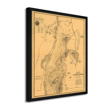
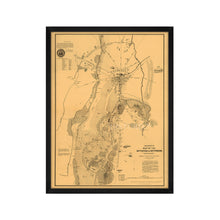
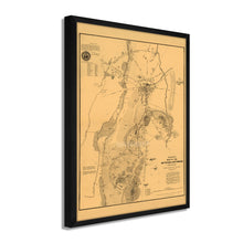
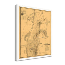
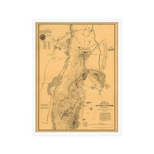
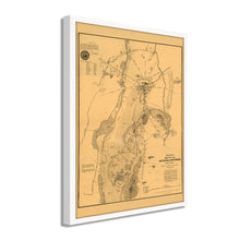
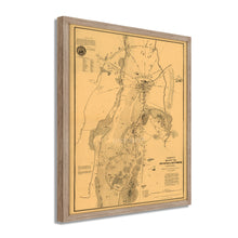
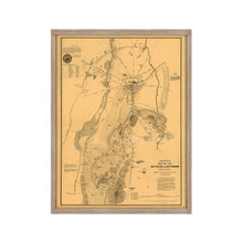
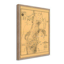
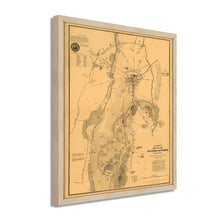
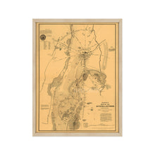
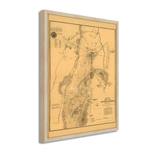
- VINTAGE MAP FRAMED: You’ll love this high-quality framed historic reproduction of 1863 Gettysburg Map. Our ready-to-hang maps are printed and framed in the USA by professional art framers using the highest quality materials. Each order is inspected for quality. This beautiful artwork is a perfect addition to your themed decor. Vintage maps look great in the home, study or office. They also make an unforgettable gift.Â
- A LOOK BACK AT HISTORY: This is an impressive, historic reproduction of 1863 Gettysburg Poster Map. A true piece of history. Historic prints beautifully link the past with the present. You may find yourself staring at your historic wall art for hours in amazement. See our product description section for more fascinating information about this historic map and its significance.
- PREMIUM QUALITY: To display this amazing piece of history, we use museum-quality heavyweight (230gsm), fine art print matte paper. Our paper is acid-free which allows the print to retain its color quality for generations. Our paper displays vintage map art with accurate color reproduction. This high quality print will be a wonderful addition to your vintage-themed wall.
- READY TO HANG: This high-quality frame displays art beautifully in almost any environment. The frame is made out of poplar wood (for black and white) and pine wood (for walnut and natural) with a matte finish. The frame profile is 1.5 inches high and 0.75 (for size 18x24) and 1.125 (for size 24x36) inches wide. To protect artwork, we use high-quality, lightweight, shatter-resistant frame-grade acrylic. Frames arrive ready-to-hang, preinstalled with hanging hardware.
- HISTORIC PRINTS: We love history and art. Sometimes old maps have tears, folds, stamps, separations and other blemishes. We digitally restore and enhance maps while keeping its historical character. Our framed prints are made-to-order in the USA by professional art framers. Customers all over the world love our historic prints and we know you will too.
Additional Information
Published in the midst of the American Civil War, this distinct map is a rare piece of American cartographical history. It has been a valuable tool for historians in documenting soldier casualties in the bloodiest battle of the conflict. Surveyor SG Elliott produced this map, which is unique in its depiction of soldier burial grounds. The battle was a turning point in the Civil War, which sparked President Abraham Lincoln’s emancipation Proclamation and effectively halted the Northern Virginian army’s attempt to invade the Union North.
Confederate General Robert E. Lee led his forces North after a victory in Chancellorsville in May of 1863 and met Union General George Meade’s troops on July 1. The two armies would clash in three days of fighting that saw heavy casualties on both sides resulting in the eventual retreat of Lee back to Virginia. With more than fifty-one thousand troop casualties from both sides, this was the costliest battle of the entire Civil War.
Elliott’s map has been used by historians to develop a better understanding of the clash, and the way the battle unfolded by providing names of fallen soldiers, burial locations, and which states they had come from. Another notable feature of this map is the illustration of armaments such as rifle pits, which also proved invaluable in developing a scope for the strategies used by both armies. The distinguished aesthetic of this map sets it apart from other plans of the era, and it immediately transports the viewer back in time.
Our ready-to-hang wall art are printed and framed in the USA using the highest quality materials with professional craftsmanship. This beautiful artwork is a perfect addition to your themed decor. Historic prints look great in the home, study or office. They also make an unforgettable gift.


