Feature Points
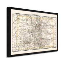
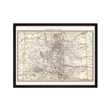
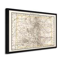
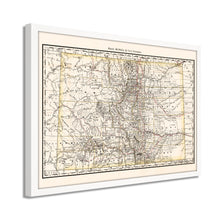
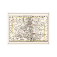
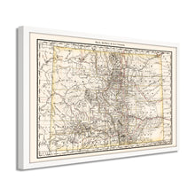
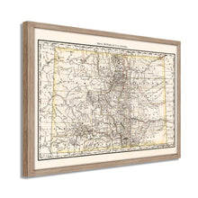
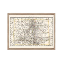
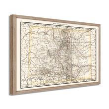
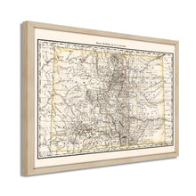
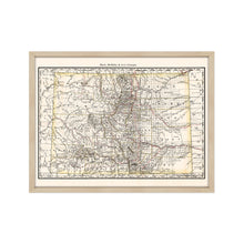
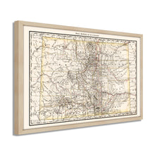
- VINTAGE MAP FRAMED: You’ll love this high-quality framed historic reproduction of 1879 Framed Map of Colorado Poster. Our ready-to-hang maps are printed and framed in the USA by professional art framers using the highest quality materials. Each order is inspected for quality. This beautiful artwork is a perfect addition to your themed decor. Vintage maps look great in the home, study or office. They also make an unforgettable gift.Â
- A LOOK BACK AT HISTORY: This is an impressive, historic reproduction of 1879 Colorado State Map. A true piece of history. Historic prints beautifully link the past with the present. You may find yourself staring at your historic wall art for hours in amazement. See our product description section for more fascinating information about this historic map and its significance.
- PREMIUM QUALITY: To display this amazing piece of history, we use museum-quality heavyweight (230gsm), fine art print matte paper. Our paper is acid-free which allows the print to retain its color quality for generations. Our paper displays vintage map art with accurate color reproduction. This high quality print will be a wonderful addition to your vintage-themed wall.
- READY TO HANG: This high-quality frame displays art beautifully in almost any environment. The frame is made out of poplar wood (for black and white) and pine wood (for walnut and natural) with a matte finish. The frame profile is 1.5 inches high and 0.75 (for size 18x24) and 1.125 (for size 24x36) inches wide. To protect artwork, we use high-quality, lightweight, shatter-resistant frame-grade acrylic. Frames arrive ready-to-hang, preinstalled with hanging hardware.
- HISTORIC PRINTS: We love history and art. Sometimes old maps have tears, folds, stamps, separations and other blemishes. We digitally restore and enhance maps while keeping its historical character. Our framed prints are made-to-order in the USA by professional art framers. Customers all over the world love our historic prints and we know you will too.
Additional Information
Published only three years after the territory achieved statehood, this stunning depiction of Colorado shows the State in a period of significant growth and transition as fortunes amassed in the gold rushes previous three decades transformed the rugged mountains in the western portion of the State. The southern regions had been ceded to the United States following Mexico’s defeat in the Mexican-American War in 1848. This land cession was the largest since the Louisiana Purchase at the beginning of the nineteenth century and completed a contiguous border from the Atlantic to Pacific Oceans.Â
Productive gold and silver mines were found throughout the Rocky Mountains since Pike’s Peak’s discovery in 1858, and eager prospectors flocked to Colorado seeking fortune. As mining camps grew, towns and cities began to spring up, and increased access from rail lines allowed the State to flourish in the late nineteenth century. As the 38th State Colorado, became an essential economic driver for the United States following the conclusion of the Civil War, and immigrants from the East, South, and Europe were making Colorado home in the late nineteenth century.Â
Published by iconic American mapmaking company Rand McNally this detailed illustration bears a unique aesthetic and is immediately recognizable. It’s authentic imagery instantly transports the viewer back in time. The company was founded in 1868 and grey to become the most recognized mapmaker in the United States with their accurate depictions becoming the vanguard for map production. This is an authentic piece of American cartographical history.Â
Our ready-to-hang wall art are printed and framed in the USA using the highest quality materials with professional craftsmanship. This beautiful artwork is a perfect addition to your themed decor. Historic prints look great in the home, study or office. They also make an unforgettable gift.


