Feature Points
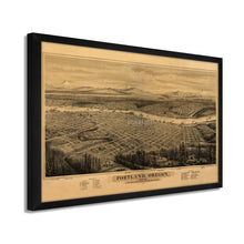
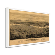
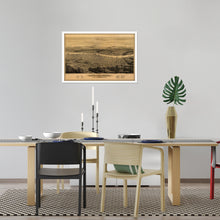
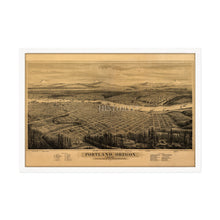
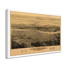
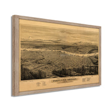
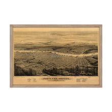
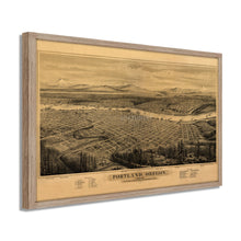
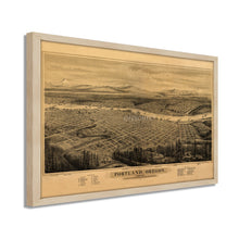
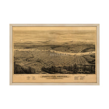
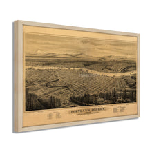
- VINTAGE MAP FRAMED: You’ll love this high-quality framed historic reproduction of 1879 Portland Oregon Map Print. Our ready-to-hang maps are printed and framed in the USA by professional art framers using the highest quality materials. Each order is inspected for quality. This beautiful artwork is a perfect addition to your themed decor. Vintage maps look great in the home, study or office. They also make an unforgettable gift.
- A LOOK BACK AT HISTORY: This is an impressive, historic reproduction of 1879 Wall Map of Portland Oregon. A true piece of history. Historic prints beautifully link the past with the present. You may find yourself staring at your historic wall art for hours in amazement. See our product description section for more fascinating information about this historic map and its significance.
- PREMIUM QUALITY: To display this amazing piece of history, we use museum-quality heavyweight (230gsm), fine art print matte paper. Our paper is acid-free which allows the print to retain its color quality for generations. Our paper displays vintage map art with accurate color reproduction. This high quality print will be a wonderful addition to your vintage-themed wall.
- READY TO HANG: This high-quality frame displays art beautifully in almost any environment. The frame is made out of poplar wood (for black and white) and pine wood (for walnut and natural) with a matte finish. The frame profile is 1.5 inches high and 0.75 (for size 18x24) and 1.125 (for size 24x36) inches wide. To protect artwork, we use high-quality, lightweight, shatter-resistant frame-grade acrylic. Frames arrive ready-to-hang, preinstalled with hanging hardware.
- HISTORIC PRINTS: We love history and art. Sometimes old maps have tears, folds, stamps, separations and other blemishes. We digitally restore and enhance maps while keeping its historical character. Our framed prints are made-to-order in the USA by professional art framers. Customers all over the world love our historic prints and we know you will too.
Â
Additional Information
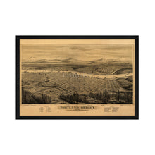
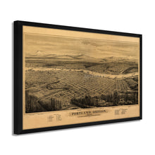
This perspective map was produced by Eli Glover and published in 1879. Glover was one of the most prolific perspective illustrators of the nineteenth century, and his portrayals include an incredible amount of detail transporting the viewer back in time to a Portland that was rapidly developing and becoming a significant hub for the Northwest.
After a major fire in 1873 destroyed twenty blocks on the west side near the Willamette, Portland's bustling downtown was rebuilt, and the city had nearly eighteen thousand residents by 1879. By focusing on local resources and not accepting support from San Francisco or the East Coast, Portland's domestic economy was able to thrive through the nationwide panic of 1873. The Pioneer Courthouse, James B. Stephens House, and Jacob Kamm's house all still stand today as they were portrayed here.
The early history of Portland was one of a hard edge, gritty port town, and it's unique position as an inland port contributed to this quality. Because Portland had both a port and Railway hubs, it was the principal port in the Northwest for nearly all of the 19th century. Being able to export the robust timber from the region was another primary economic driver and led to the cities apt nickname of 'Stumptown.'
The grandeur of the surrounding mountains is enhanced by Glover using an eastern facing perspective. MT Rainier, MT St. Helens, Mt Tabor, and Mt Hood, as well as the Columbia River Gorge, are all depicted with an immediately recognizable aesthetic that harkens back to Portland's early days as a rough and tumble port town.Â
Our ready-to-hang wall art are printed and framed in the USA using the highest quality materials with professional craftsmanship. This beautiful artwork is a perfect addition to your themed decor. Historic prints look great in the home, study or office. They also make an unforgettable gift.


