Feature Points
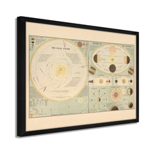
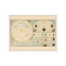
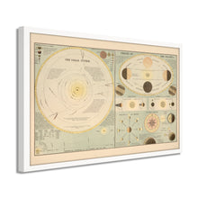
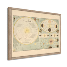
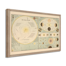
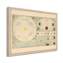
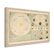
- VINTAGE MAP FRAMED: You’ll love this high-quality framed historic reproduction of 1885 Solar System Map Print. Our ready-to-hang maps are printed and framed in the USA by professional art framers using the highest quality materials. Each order is inspected for quality. This beautiful artwork is a perfect addition to your themed decor. Vintage maps look great in the home, study or office. They also make an unforgettable gift.Â
- A LOOK BACK AT HISTORY: This is an impressive, historic reproduction of 1885 Old Solar System Map. A true piece of history. Historic prints beautifully link the past with the present. You may find yourself staring at your historic wall art for hours in amazement. See our product description section for more fascinating information about this historic map and its significance.
- PREMIUM QUALITY: To display this amazing piece of history, we use museum-quality heavyweight (230gsm), fine art print matte paper. Our paper is acid-free which allows the print to retain its color quality for generations. Our paper displays vintage map art with accurate color reproduction. This high quality print will be a wonderful addition to your vintage-themed wall.
- READY TO HANG: This high-quality frame displays art beautifully in almost any environment. The frame is made out of poplar wood (for black and white) and pine wood (for walnut and natural) with a matte finish. The frame profile is 1.5 inches high and 0.75 (for size 18x24) and 1.125 (for size 24x36) inches wide. To protect artwork, we use high-quality, lightweight, shatter-resistant frame-grade acrylic. Frames arrive ready-to-hang, preinstalled with hanging hardware.
- HISTORIC PRINTS: We love history and art. Sometimes old maps have tears, folds, stamps, separations and other blemishes. We digitally restore and enhance maps while keeping its historical character. Our framed prints are made-to-order in the USA by professional art framers. Customers all over the world love our historic prints and we know you will too.
Additional Information
Published at a time of significant gains in astronomical science, this stunning depiction of the Solar System and what was understood about it in the late nineteenth century bears a unique aesthetic and distinctive style which immediately transports the viewer back in time. Maps of the cosmos, and Lunar maps, were valued at the time for maritime navigation and educational purposes. Produced by A&C Black, this detailed illustration includes seasonal data and a mariner’s compass. A&C Black has been [publishing maps since 1807, and their depictions are among the most famous in history for their accuracy and distinctive aesthetic. Their atlases were prized during the nineteenth century for their thorough information, and they published the Encyclopedia Brittanica from 1827 to 1903.
Astronomical theory was being developed rapidly at the end of the nineteenth century and advances in telescopic technology-fueled these advances. Ship captains and sailors had long used the solar system to guide them across the globe. By the late nineteenth century, much of this information had been legitimized by astronomers, both professional and amateur. In 1872 American Astronomer Henry Draper produced the first photograph of a star, which allowed astronomers to use spectroscopy to understand stars better.Â
Astronomy and studying the solar system dates back to antiquity and is the oldest natural science, as the night sky has long captured cultures' imagination and curiosity. The late nineteenth century was no different, and this elegant depiction of the solar system is an authentic piece of cartographical history.Â
Our ready-to-hang wall art are printed and framed in the USA using the highest quality materials with professional craftsmanship. This beautiful artwork is a perfect addition to your themed decor. Historic prints look great in the home, study or office. They also make an unforgettable gift.


