Feature Points
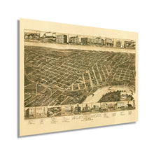
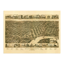
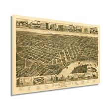
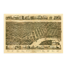
- VINTAGE MAP REPRODUCTION: You’ll love this high quality historic reproduction of 1887 Montgomery Alabama Map. Our museum quality maps are archival grade, which means it will look great and last without fading for over 100 years. Our print to order maps are made in the USA and each map is inspected for quality. This beautiful artwork is a perfect addition to your themed decor. Vintage maps look great in the home, study or office. They make a perfect gift as well.
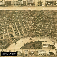
- MUSEUM QUALITY: This high quality map print will be a great addition to your vintage-themed wall. Don't waste money on cheap-looking, thin paper posters. We use thick, fine art print quality matte paper. Our professional’s choice matte paper displays artwork in high detail without glare. The color is vibrant and the text is easy to read. When framed, this map looks absolutely stunning.
- A LOOK BACK AT HISTORY: This is an impressive, historic reproduction of 1887 Montgomery Alabama Poster. This print is from an original found in the maps and geography division of the US Library of Congress. A true piece of history. See our product description section for more fascinating information about this historic map and its significance.
- READY TO FRAME: This print includes a 0.2 inch border for a perfect frame fit and look. Our maps are designed to fit easy-to-find standard frame sizes, saving you money from having to pay for a custom frame. Each map is inspected for quality and shipped in a rigid tube.
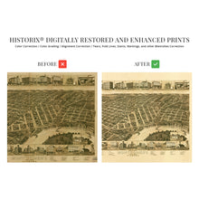
- HISTORIX: We love history and art. Sometimes old maps have tears, folds, separations and other blemishes. We digitally restore and enhance maps while keeping its historical character. All our maps are proudly made in the USA. Customers all over the world love our vintage maps and we know you will too.
Â
Additional Information
This stunning bird's eye perspective depicts the State Capital of Alabama, Montgomery, in a period of great transition and significant cultural, political, and economic transformation. Montgomery became the first Capital of the Confederate States of America in 1861 before Richmond, Virginia. Union forces captured Montgomery under Major General James H. Wilson after a defeat in the Battle of Selma in 1865. However, the city had seen relatively little damage during the conflict.
Produced by prominent cartographer and lithographer Henry Wellge this depiction served as a promotional tool for the city following the Civil War. It featured notable civic buildings and features to attract industrialists and workers alike. Residents and merchants also displayed these unique illustrations in a show of civic pride. Wellge was known for his panoramic bird's eye perspectives, which were wildly popular from the middle of the nineteenth century until the 1920s.
In 1886 Montgomery became the first American city to install citywide electric streetcars on a system colloquially called the Lightning Route. This system facilitated an urban depopulation and created thriving suburbs as commuters could come into the city's downtown to work. By the late nineteenth century, Montgomery had become one of the cultural capitals of America's south and was gaining a positive reputation as an economic driver in the deep south. Located on the banks of the Alabama River, Montgomery is one of America's most iconic cities and continues to grow and evolve to this day. The distinctive aesthetic of this map immediately transports the viewer back in time.
Our museum quality giclee print comes printed with archival ink on premium heavyweight matte paper. This eye-catching vintage map reproduction print makes the perfect gift for anyone that loves history and imagery.


