Feature Points
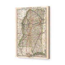
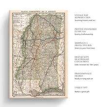
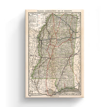
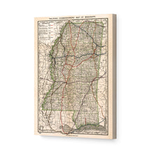
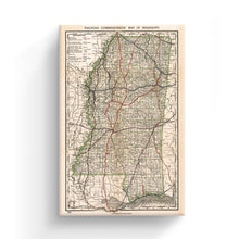
- VINTAGE MAP CANVAS ART: You’ll love this high-quality canvas art reproduction of 1888 Mississippi Map Canvas. Our ready-to-hang maps are printed and framed in the USA by professional art framers using the highest quality materials. Each order is inspected for quality. This beautiful artwork is a perfect addition to your themed decor. Vintage maps look great in the home, study or office. They also make an unforgettable gift.
- A LOOK BACK AT HISTORY: This is an impressive, historic reproduction of 1888 Mississippi Road Map. A true piece of history. Historic prints beautifully link the past with the present. You may find yourself staring at your historic wall art for hours in amazement. See our product description section for more fascinating information about this historic map and its significance.
- QUALITY CANVAS: To display this amazing piece of history, we use museum-quality heavyweight (400gsm), satin/gloss, American made canvas. Our canvas is OBA-free which allows the print to retain its color quality for generations. The canvas displays vintage map art with accurate color reproduction. This high quality canvas print will be a wonderful addition to your vintage-themed wall.
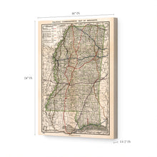
- READY TO HANG: This high-quality canvas wrap wall art displays beautifully in almost any environment. The stretcher bar is made out of kiln-dried poplar wood. This canvas wall art has a 1.5 inch wrap on each side. Our canvas wrap prints are made-to-order in the USA by professional art framers. Frames arrive ready-to-hang, preinstalled with hanging hardware.
- HISTORIC PRINTS: We love history and art. Sometimes old maps have tears, folds, stamps, separations and other blemishes. We digitally restore and enhance maps while keeping its historical character. Customers all over the world love our historic prints and we know you will too.
Â
Additional Information
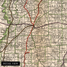
Produced and published in what is considered Mississippis’ Gilded Age this depiction by the most prolific American map-making company, Rand McNally transforms the viewer back in time to one of the most prosperous times in the State’s history. Cool coded to show many unique features this map was created for the Railroad commissioner and features every rail line as well as city, town, and county boundaries. This detailed illustration allows historians a glimpse into what the State’s development and culture looked like in the period immediately after reconstruction.
Much of the State’s railway infrastructure had been destroyed during the American Civil War. By 1888, the construction of new lines had occurred, driving economic prosperity and allowing farmers to export goods more effectively than before the war. The fertile lands along the Mississippi River Delta attracted many farmers, and as land was cleared, lumber developed into a nascent industry.
With nearly three thousand miles of track laid by this time, the State was enjoying growth and attracting residents from neighboring Louisiana and Alabama, and rural communities were growing throughout the State. Though the State would remain largely agrarian cities had started to develop notably Oxford, which would later become known for producing one of the greatest American writers William Faulkner.Â
This unique depiction of Mississippi in a time of great transition and expansion stands out as not only an authentic price of cartographical history but a testament to a region that had been though significant hardship and was rebuilding and burgeoning.
Our ready-to-hang canvas wall art prints are made in the USA using the highest quality materials with professional craftsmanship. This beautiful artwork is a perfect addition to your themed decor. Historic prints look great in the home, study or office. They also make an unforgettable gift.


