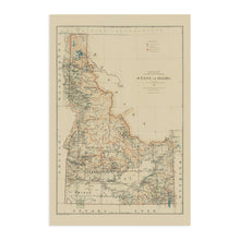
Feature Points
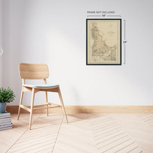
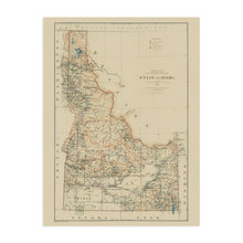
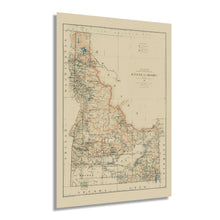
- VINTAGE MAP REPRODUCTION: You’ll love this high quality historic reproduction of 1891 Idaho Map Print. Our museum quality prints are archival grade, which means it will look great and last without fading for over 100 years. Our print to order maps are made in the USA and each map is inspected for quality. This beautiful artwork is a perfect addition to your themed decor. Vintage maps look great in the home, study or office. They make a perfect gift as well.
- MUSEUM QUALITY: This high quality map print will be a great addition to your vintage-themed wall. Don't waste money on cheap-looking, thin paper posters. We use thick, fine art print quality matte paper. Our professional’s choice matte paper displays artwork in high detail without glare. The color is vibrant and text is easy to read. When framed, this map looks absolutely stunning.
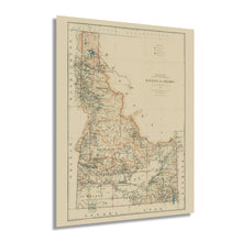
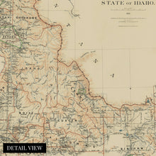
- A LOOK BACK AT HISTORY: This is an impressive, historic reproduction of 1891 Boise Map of Idaho State. A true piece of history. See our product description section for more fascinating information about this historic map and its significance.
- READY TO FRAME: This print includes a 0.2 inch border for a perfect frame fit and look. Our maps are designed to fit easy-to-find standard frame sizes, saving you money from having to pay for a custom frame. Each map is inspected for quality and shipped in a rigid tube.
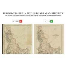
- HISTORIX: We love history and art. Sometimes old maps have tears, folds, separations and other blemishes. We digitally restore and enhance maps while keeping its historical character. All our maps are proudly made in the USA. Customers all over the world love our vintage maps and we know you will too.
Additional Information
Settled primarily by French fur trappers during the eighteenth and early nineteenth century, Idaho was officially recognized as an American Territory in 1846. It was included in the Oregon Territory until Oregon achieved statehood in 1849. At that point, Idaho was included in the Washington Territory. Idaho officially became a state in 1890 and maintained a local economy that relied on lumber milling, fur trapping, and farming in its fertile valleys. This map was one of the first published following statehood and was created by the noted and prolific Julien Bien Company, which published numerous depictions of the American West.
Bien maps are recognizable due to their classic style and minimal aesthetic. As the turn of the century neared, Idaho remained a relatively remote area that relied on local trading to support a regional economy. To this day, Idaho remains one of the most rugged terrains in the United States. It contains some of the last unspoiled natural areas, including the Franck Church-River of No Return Wilderness Area, the largest protected contiguous land. The iconic Snake River flows through the Snake River plain in southern Idaho and is an integral part of the Columbia River’s tributary system.Â
While the Eastern United States was experiencing a boom in manufacturing during the Industrial Revolution, Idaho remained a predominantly agricultural region supplying major markets with crops like potatoes and wheat. This is an authentic piece of American cartographical history that depicts one of the most pastoral regions in the United States.
Our museum quality giclee print comes printed with archival ink on premium heavyweight matte paper. Shipped in a sturdy cardboard tube your print will arrive ready to be framed. This eye-catching vintage map reproduction print makes the perfect gift for anyone that loves history and imagery.


