Feature Points
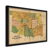
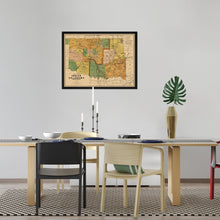
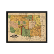
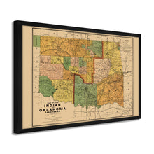
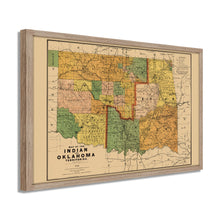
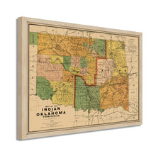
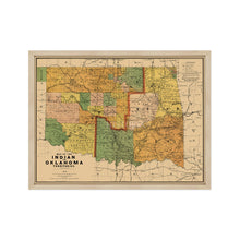
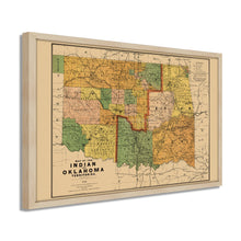
- VINTAGE MAP FRAMED: You’ll love this high-quality framed historic reproduction of 1892 Indian and Oklahoma Territories Map. Our ready-to-hang maps are printed and framed in the USA by professional art framers using the highest quality materials. Each order is inspected for quality. This beautiful artwork is a perfect addition to your themed decor. Vintage maps look great in the home, study or office. They also make an unforgettable gift.
- A LOOK BACK AT HISTORY: This is an impressive, historic reproduction of 1892 Framed Oklahoma Wall Art. A true piece of history. Historic prints beautifully link the past with the present. You may find yourself staring at your historic wall art for hours in amazement. See our product description section for more fascinating information about this historic map and its significance.
- PREMIUM QUALITY: To display this amazing piece of history, we use museum-quality heavyweight (230gsm), fine art print matte paper. Our paper is acid-free which allows the print to retain its color quality for generations. Our paper displays vintage map art with accurate color reproduction. This high quality print will be a wonderful addition to your vintage-themed wall.
- READY TO HANG: This high-quality frame displays art beautifully in almost any environment. The frame is made out of poplar wood (for black and white) and pine wood (for walnut and natural) with a matte finish. The frame profile is 1.5 inches high and 0.75 (for size 18x24) and 1.125 (for size 24x36) inches wide. To protect artwork, we use high-quality, lightweight, shatter-resistant frame-grade acrylic. Frames arrive ready-to-hang, preinstalled with hanging hardware.
- HISTORIC PRINTS: We love history and art. Sometimes old maps have tears, folds, stamps, separations and other blemishes. We digitally restore and enhance maps while keeping its historical character. Our framed prints are made-to-order in the USA by professional art framers. Customers all over the world love our historic prints and we know you will too.
Â
Additional Information
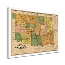
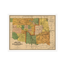
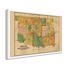
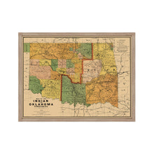
Produced by iconic American mapmaker Rand McNally, this depiction of Oklahoma and Indian Territory was published just two years after the state was opened for general settlement. Previously the territory was considered Indian Territory, but two treaties ratified in 1889 caused a land grab allowing local tribes to sell their land to American settlers. The two distinct territories were divided into eastern and western regions, as well as along tribal lines.
This pre-statehood map illustrates the tribes living in this rugged, frontier region and the towns and cities that sprung up alongside them. The Bartlesville oil boom in1897 sparked another influx of miners, and oil drilling became a massive industry for the local economy. The history of Oklahoma’s oilfields is rich and storied with vast fortunes being made overnight and busting just as quickly. The discovery of new oilfields was national news and brought numerous investors seeking riches to the remote territory, and these discoveries were frequent enough to keep the population growing. By 1927 Oklahoma was producing more oil than any other state.
These territories were also leased by major Chicago meatpackers who kept vast herds of cattle to ship north for processing. Oklahoma achieved statehood in 1907, but the 1890s were a transformative and challenging time in the region and are when its reputation as a rough and tumble frontier was well earned. The distinctive aesthetic of Rand McNally maps is immediately recognizable and transports the viewer back in time to vast cattle ranches and oil derricks.
Our ready-to-hang wall art are printed and framed in the USA using the highest quality materials with professional craftsmanship. This beautiful artwork is a perfect addition to your themed decor. Historic prints look great in the home, study or office. They also make an unforgettable gift.


