Feature Points
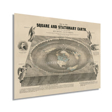
- VINTAGE MAP REPRODUCTION: You’ll love this high quality historic reproduction of 1893 Flat Earth Map of the World Poster. Our museum quality prints are archival grade, which means it will look great and last without fading for over 100 years. Our print to order maps are made in the USA and each map is inspected for quality. This beautiful artwork is a perfect addition to your themed decor. Vintage maps look great in the home, study or office. They make a perfect gift as well.
- MUSEUM QUALITY: This high quality map print will be a great addition to your vintage-themed wall. Don't waste money on cheap-looking, thin paper posters. We use thick, fine art print quality matte paper. Our professional’s choice matte paper displays artwork in high detail without glare. The color is vibrant and text is easy to read. When framed, this map looks absolutely stunning.
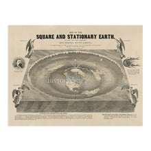
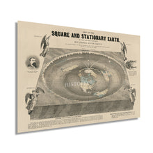
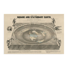
- A LOOK BACK AT HISTORY: This is an impressive, historic reproduction of 1893 Square and Stationary Earth Wall Art. A true piece of history. See our product description section for more fascinating information about this historic map and its significance.
- READY TO FRAME: This print includes a 0.2 inch border for a perfect frame fit and look. Our maps are designed to fit easy-to-find standard frame sizes, saving you money from having to pay for a custom frame. Each map is inspected for quality and shipped in a rigid tube.
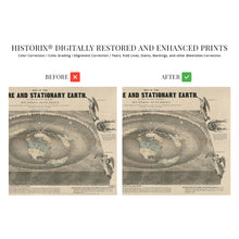
- HISTORIX: We love history and art. Sometimes old maps have tears, folds, separations and other blemishes. We digitally restore and enhance maps while keeping its historical character. All our maps are proudly made in the USA. Customers all over the world love our vintage maps and we know you will too.
Additional Information
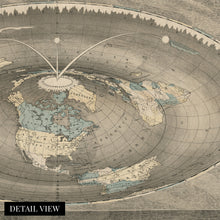
Based on a literal interpretation of the Bible, this map depicts the earth's continents in a donut-like basin and portends a flat earth theory that discounts the existence of gravity. Produced and published by self-proclaimed doctor Orlando Ferguson, a native of South Dakota, this map existed in relative obscurity until it was donated and accepted by the Library of Congress in 2011. His depiction places the sun and moon in lamp-like positions and attempts to explain the so-called Columbus phenomenon. This is the perception of a ship breaching the horizon with only the mast being visible before the hull comes into view, and the view of the ship grows as it gets nearer.
When the Library of Congress received the map, it was one of only two known to exist still and the only intact representation. This rare piece of cartographical history shows the world in a period of significant advances in technology and culture. As the nineteenth century neared, industrialization and improvements in transportation had caused a boom of prosperity throughout Northern America during the Gilded Age.Â
As the turn of the century neared, the world was transitioning from traditional agrarian cultures to a more urban, developed, and modern setting. The unique aesthetic and distinctive style of this piece immediately transport the viewer back in time, creating an indelible bond between the past and present. This original work of cartographical history has become an important artifact documenting alternative scientific theories and thinking.
Our museum quality giclee print comes printed with archival ink on premium heavyweight matte paper. Shipped in a sturdy cardboard tube your print will arrive ready to be framed. This eye-catching vintage map reproduction print makes the perfect gift for anyone that loves history and imagery.


