Feature Points
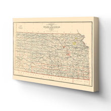
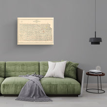
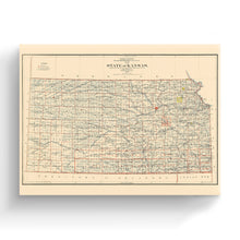
- VINTAGE MAP CANVAS ART: You’ll love this high-quality canvas art reproduction of 1898 Kansas Map Canvas Art. Our ready-to-hang maps are printed and framed in the USA by professional art framers using the highest quality materials. Each order is inspected for quality. This beautiful artwork is a perfect addition to your themed decor. Vintage maps look great in the home, study or office. They also make an unforgettable gift.Â
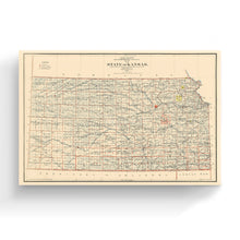
- A LOOK BACK AT HISTORY: This is an impressive, historic reproduction of 1898 Kansas State Map. A true piece of history. Historic prints beautifully link the past with the present. You may find yourself staring at your historic wall art for hours in amazement. See our product description section for more fascinating information about this historic map and its significance.
- QUALITY CANVAS: To display this amazing piece of history, we use museum-quality heavyweight (400gsm), satin/gloss, American made canvas. Our canvas is OBA-free which allows the print to retain its color quality for generations. The canvas displays vintage map art with accurate color reproduction. This high quality canvas print will be a wonderful addition to your vintage-themed wall.
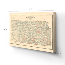
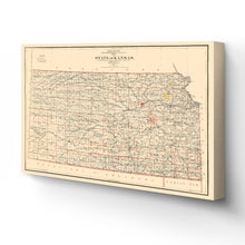
- READY TO HANG: This high-quality canvas wrap wall art displays beautifully in almost any environment. The stretcher bar is made out of kiln-dried poplar wood. This canvas wall art has a 1.5 inch wrap on each side. Our canvas wrap prints are made-to-order in the USA by professional art framers. Frames arrive ready-to-hang, preinstalled with hanging hardware.
- HISTORIC PRINTS: We love history and art. Sometimes old maps have tears, folds, stamps, separations and other blemishes. We digitally restore and enhance maps while keeping its historical character. Customers all over the world love our historic prints and we know you will too.
Â
Additional Information
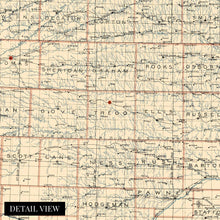
Published by Binger Hermann, this detailed illustration immediately transports the viewer back in time. Hermann was a two-time US Congressman who was head of the Department of the Interior in the late 19th century. These government-produced works held great significance for residents and merchants alike who relied on them for current railing information and showed the expansion and development of towns and cities.
After being admitted into the United States in 1861 during the American Civil War as a free state under the Wyandotte Constitution, Kansas’ vast plains provided an economy driven by cattle ranching and agricultural pursuits. Though around the turn of the 20th century, when this map was produced, oil discoveries and greater access provided by rail lines were allowing Kansas to thrive economically.Â
The iconic Chisholm trail from Texas to Chicago was established after stockyards in Abilene, Kansas, allowed cattleman a halfway point, and the yards could ship beef to eastern markets. The trail was critical for Texas cattle ranchers as railroads did not reach the region following the Civil War. German immigrants flocked to Kansas in the late 19th century and established thriving communities and towns as railroads expanded into the area. Farmers cultivated wheat throughout the region, and the state led wheat production in the 19th century.
The state had experienced a significant spike in immigration throughout the 19th century and was enjoying prosperity and development. This depiction of the state nearing the turn of the century is an authentic piece of American cartographical history.
Our ready-to-hang canvas wall art prints are made in the USA using the highest quality materials with professional craftsmanship. This beautiful artwork is a perfect addition to your themed decor. Historic prints look great in the home, study or office. They also make an unforgettable gift.


