Feature Points
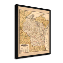
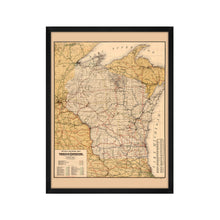
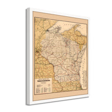
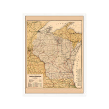
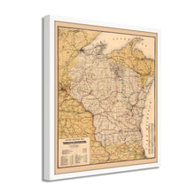
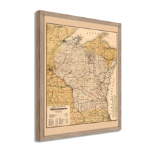
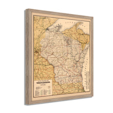
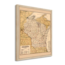
- VINTAGE MAP FRAMED: You’ll love this high-quality framed historic reproduction of 1900 Wisconsin Map Poster. Our ready-to-hang maps are printed and framed in the USA by professional art framers using the highest quality materials. Each order is inspected for quality. This beautiful artwork is a perfect addition to your themed decor. Vintage maps look great in the home, study or office. They also make an unforgettable gift.Â
- A LOOK BACK AT HISTORY: This is an impressive, historic reproduction of 1900 Wisconsin State Map. A true piece of history. Historic prints beautifully link the past with the present. You may find yourself staring at your historic wall art for hours in amazement. See our product description section for more fascinating information about this historic map and its significance.
- PREMIUM QUALITY: To display this amazing piece of history, we use museum-quality heavyweight (230gsm), fine art print matte paper. Our paper is acid-free which allows the print to retain its color quality for generations. Our paper displays vintage map art with accurate color reproduction. This high quality print will be a wonderful addition to your vintage-themed wall.
- READY TO HANG: This high-quality frame displays art beautifully in almost any environment. The frame is made out of poplar wood (for black and white) and pine wood (for walnut and natural) with a matte finish. The frame profile is 1.5 inches high and 0.75 (for size 18x24) and 1.125 (for size 24x36) inches wide. To protect artwork, we use high-quality, lightweight, shatter-resistant frame-grade acrylic. Frames arrive ready-to-hang, preinstalled with hanging hardware.
- HISTORIC PRINTS: We love history and art. Sometimes old maps have tears, folds, stamps, separations and other blemishes. We digitally restore and enhance maps while keeping its historical character. Our framed prints are made-to-order in the USA by professional art framers. Customers all over the world love our historic prints and we know you will too.
Additional Information
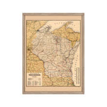
Published at the turn of the nineteenth century, this railroad map of Wisconsin would have provided invaluable information to residents and prospective immigrants at the time. Wisconsin had experienced a massive expansion in the late nineteenth century due to the increased access allowed by expanded rail lines. This access allowed farmers, dairies, and ranchers to export their products to the large cities on the East Coast, which were experiencing record prosperity during the so-called ‘Gilded Age.’Â
Wisconsin was admitted into the United States in 1848 as the 30th state, the last to be entirely East of the Mississippi River. Immigrants flocked to the region during the latter portion of the nineteenth century, establishing numerous farms and communities with distinct ties to their homelands in Scandinavia and Western Europe and becoming the nation’s largest milk producer. Famine and civil unrest in Ireland and Germany during this period also caused the arrival of hopeful immigrants who were able to establish some of the oldest breweries in the nation throughout the state.Â
By the turn of the nineteenth century, manufacturing had become an economic driver for the state, and cities like Madison and Milwaukee had become thriving urban centers attracting residents from their surrounding farmland for work in paper mills and other modern industries. These official railroad maps bear a unique aesthetic and immediately transport the viewer back in time, creating a link to the past and understanding of how these places evolve and grow. This is an authentic piece of American cartographical history.
Our ready-to-hang wall art are printed and framed in the USA using the highest quality materials with professional craftsmanship. This beautiful artwork is a perfect addition to your themed decor. Historic prints look great in the home, study or office. They also make an unforgettable gift.


