Feature Points
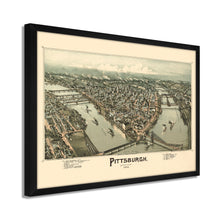
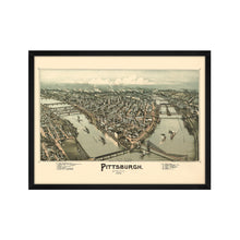
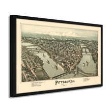
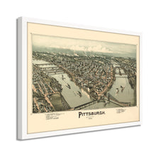
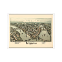
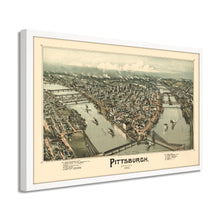
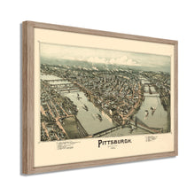
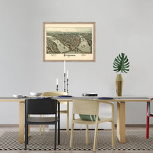
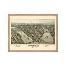
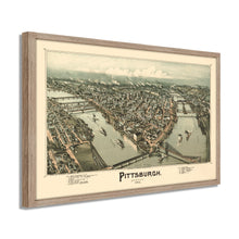
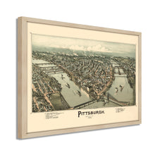
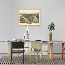
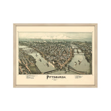
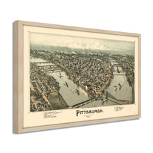
- VINTAGE MAP FRAMED: You’ll love this high-quality framed historic reproduction of 1902 Map of Pittsburgh Poster. Our ready-to-hang maps are printed and framed in the USA by professional art framers using the highest quality materials. Each order is inspected for quality. This beautiful artwork is a perfect addition to your themed decor. Vintage maps look great in the home, study or office. They also make an unforgettable gift.Â
- A LOOK BACK AT HISTORY: This is an impressive, historic reproduction of 1902 Map of Pittsburgh PA. A true piece of history. Historic prints beautifully link the past with the present. You may find yourself staring at your historic wall art for hours in amazement. See our product description section for more fascinating information about this historic map and its significance.
- PREMIUM QUALITY: To display this amazing piece of history, we use museum-quality heavyweight (230gsm), fine art print matte paper. Our paper is acid-free which allows the print to retain its color quality for generations. Our paper displays vintage map art with accurate color reproduction. This high quality print will be a wonderful addition to your vintage-themed wall.
- READY TO HANG: This high-quality canvas wrap wall art displays beautifully in almost any environment. The stretcher bar is made out of kiln-dried poplar wood. This canvas wall art has a 1.5 inch wrap on each side. Our canvas wrap prints are made-to-order in the USA by professional art framers. Frames arrive ready-to-hang, preinstalled with hanging hardware.
- HISTORIC PRINTS: We love history and art. Sometimes old maps have tears, folds, stamps, separations and other blemishes. We digitally restore and enhance maps while keeping its historical character. Our framed prints are made-to-order in the USA by professional art framers. Customers all over the world love our historic prints and we know you will too.
Â
Additional Information
This distinctive Birds Eye perspective of Pittsburg in 1902 shows the city in a time of great transition, growth, and prosperity. Published one year after J.P. Morgan and Elbert Gary merged their steel interests into US Steel, this depiction shows Pittsburgh proud, producing nearly half of all steel produced in the United States, the city was rapidly expanding and by 1910 was the eighth-largest city in America. The Civil War, a quarter of a century earlier, had allowed the steel mills to thrive and set it up for a prosperous future heading into the twentieth century.
Birds Eye perspectives were produced to entice tourists and new residents alike by promoting notable landmarks and prominent buildings and residents. Pittsburgh, in this time, had a great deal of civic pride and was becoming a significant economic powerhouse fueled by steel production. The railroad lines made the city a major hub, and millions of dollars of goods also came through the bustling ports on the Pittsburg River.
This perspective was produced by TM Fowler, who was one of the most prolific American producers of bird's eye perspectives. Fowler's illustrations were very popular with Americans in the late 19th century though the early twentieth. His work mainly focused on Pennsylvania, and he is considered the most prolific mapmaker of the state. Yale University, Pennsylvania State University, and the Boston Public Library all hold Fowler's work in their archives. This distinctive illustration is truly an authentic piece of cartographical history.
Our ready-to-hang wall art are printed and framed in the USA using the highest quality materials with professional craftsmanship. This beautiful artwork is a perfect addition to your themed decor. Historic prints look great in the home, study or office. They also make an unforgettable gift.


