Feature Points
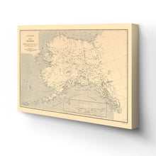
- VINTAGE MAP CANVAS ART: You’ll love this high-quality canvas art reproduction of 1909 Alaska Map Canvas Art. Our ready-to-hang maps are printed and framed in the USA by professional art framers using the highest quality materials. Each order is inspected for quality. This beautiful artwork is a perfect addition to your themed decor. Vintage maps look great in the home, study or office. They also make an unforgettable gift.Â
- A LOOK BACK AT HISTORY: This is an impressive, historic reproduction of 1909 Alaska Wall Map. A true piece of history. Historic prints beautifully link the past with the present. You may find yourself staring at your historic wall art for hours in amazement. See our product description section for more fascinating information about this historic map and its significance.
- QUALITY CANVAS: To display this amazing piece of history, we use museum-quality heavyweight (400gsm), satin/gloss, American made canvas. Our canvas is OBA-free which allows the print to retain its color quality for generations. The canvas displays vintage map art with accurate color reproduction. This high quality canvas print will be a wonderful addition to your vintage-themed wall.
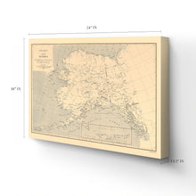
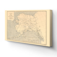
- READY TO HANG: This high-quality canvas wrap wall art displays beautifully in almost any environment. The stretcher bar is made out of kiln-dried poplar wood. This canvas wall art has a 1.5 inch wrap on each side. Our canvas wrap prints are made-to-order in the USA by professional art framers. Frames arrive ready-to-hang, preinstalled with hanging hardware.
- HISTORIC PRINTS: We love history and art. Sometimes old maps have tears, folds, stamps, separations and other blemishes. We digitally restore and enhance maps while keeping its historical character. Customers all over the world love our historic prints and we know you will too.
Additional Information
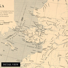
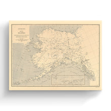
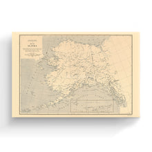
Produced by prominent American geologist Alfred Hulse Brooks for the United States Geological Survey, this detailed map of Alaska is the culmination of years of research and numerous expeditions into the Alaskan wilderness. Brooks is credited with discovering and making the Brooks mountain range, the biggest in arctic Alaska, and noting that it is not part of the Rocky Mountain range as was previously believed. Brooks served as the chief geologist for Alaska from 1903 to 1924 and produced remarkable photographs of local communities during his exploration that are featured in Yale University's library.Â
The inset details the Aleutian Islands and represents some of the earliest mapping of the archipelago. Brooks' work for the United States Geological Survey was pioneering in the region. The US had purchased the territory from Russia in 1867 but would not gain statehood until 1959. The discovery of gold in 1899 sparked a gold rush, and towns such as Fairbanks and Ruby were established. Railroads began to be constructed during this time as well, allowing for Alaska's population to expand as eager prospectors made their way north from the United States. The Klondike Gold Rush remains one of the most iconic periods of American History.Â
The vastness of Alaska's wilderness is reproduced here with stunning detail and clarity. One of the most distinct states in the Union, Alaska, holds a unique character in American History and has become iconic for its arctic wilderness and geological features. This map is an authentic piece of American cartographical History.
Our ready-to-hang canvas wall art prints are made in the USA using the highest quality materials with professional craftsmanship. This beautiful artwork is a perfect addition to your themed decor. Historic prints look great in the home, study or office. They also make an unforgettable gift.


