Feature Points
- VINTAGE MAP CANVAS ART: You’ll love this high-quality canvas art reproduction of 1912 Virginia Map Print Canvas. Our ready-to-hang maps are printed and framed in the USA by professional art framers using the highest quality materials. Each order is inspected for quality. This beautiful artwork is a perfect addition to your themed decor. Vintage maps look great in the home, study or office. They also make an unforgettable gift.Â
- A LOOK BACK AT HISTORY: This is an impressive, historic reproduction of 1912 Virginia Map Poster. A true piece of history. Historic prints beautifully link the past with the present. You may find yourself staring at your historic wall art for hours in amazement. See our product description section for more fascinating information about this historic map and its significance.
- QUALITY CANVAS: To display this amazing piece of history, we use museum-quality heavyweight (400gsm), satin/gloss, American made canvas. Our canvas is OBA-free which allows the print to retain its color quality for generations. The canvas displays vintage map art with accurate color reproduction. This high quality canvas print will be a wonderful addition to your vintage-themed wall.
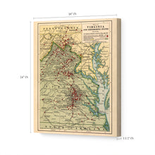
- READY TO HANG: This high-quality canvas wrap wall art displays beautifully in almost any environment. The stretcher bar is made out of kiln-dried poplar wood. This canvas wall art has a 1.5 inch wrap on each side. Our canvas wrap prints are made-to-order in the USA by professional art framers. Frames arrive ready-to-hang, preinstalled with hanging hardware.
- HISTORIC PRINTS: We love history and art. Sometimes old maps have tears, folds, stamps, separations and other blemishes. We digitally restore and enhance maps while keeping its historical character. Customers all over the world love our historic prints and we know you will too.
Additional Information
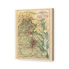
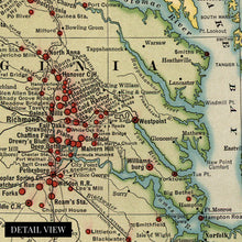
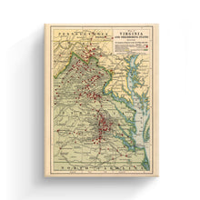
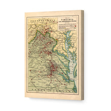
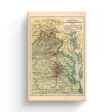
Published in 1912, this unique depiction of the battles of the Civil War shows the significant amount of clashes that occurred on Virginian soil. By 1861 the disagreement between Northern and Southern States erupted into conflict at Fort Sumter South Carolina, and Virginia's geographical location placed it at the northernmost portion of the Confederacy. Its location would make it critical to Union assaults and ultimate victory. Virginia was home to the first and last significant battles of the Civil War, with the first being the Battle of Bull Run and the last, the Battle of Appomattox Courthouse.
Richmond was the Confederate Capital and its significance as a manufacturing powerhouse that the Confederacy heavily relied upon informed the decision to move the capital to the city from Montgomery, Alabama, in 1861. The town needed strong defense as it was only 100 miles south of the newly established border with the Union and capital Washington D.C.
Richmond was also the only large scale industrial city in the Confederacy, and it's importance required armaments to ensure Union forces would not destroy it. Confederate President Jefferson Davis also resided just blocks north of the State Capital. The city was the target of many Union attacks throughout the war, though never moved or successfully sieged throughout the conflict.
Petersburg was another vital city for the Confederacy as a hub with five railroads allowing access throughout the deep south. Published at a time of great transition, this distinctive map is an authentic piece of cartographical history.
Our ready-to-hang canvas wall art prints are made in the USA using the highest quality materials with professional craftsmanship. This beautiful artwork is a perfect addition to your themed decor. Historic prints look great in the home, study or office. They also make an unforgettable gift.


