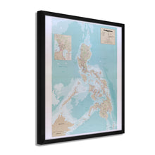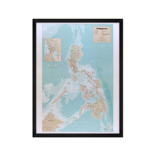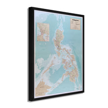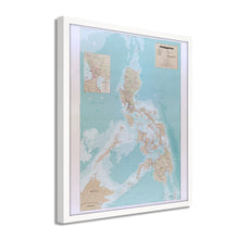
Feature Points
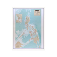
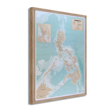
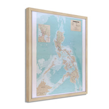
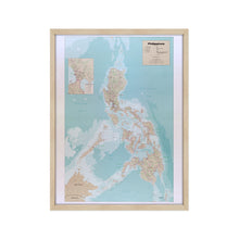
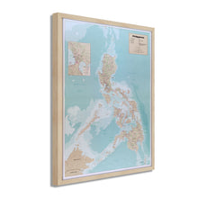
- VINTAGE MAP FRAMED: You’ll love this high-quality framed historic reproduction of 1990 Map of the Philippines Poster. Our ready-to-hang maps are printed and framed in the USA by professional art framers using the highest quality materials. Each order is inspected for quality. This beautiful artwork is a perfect addition to your themed decor. Vintage maps look great in the home, study or office. They also make an unforgettable gift.Â
- A LOOK BACK AT HISTORY: This is an impressive, historic reproduction of 1990 Framed Philippines Map Art. A true piece of history. Historic prints beautifully link the past with the present. You may find yourself staring at your historic wall art for hours in amazement. See our product description section for more fascinating information about this historic map and its significance.
- PREMIUM QUALITY: To display this amazing piece of history, we use museum-quality heavyweight (230gsm), fine art print matte paper. Our paper is acid-free which allows the print to retain its color quality for generations. Our paper displays vintage map art with accurate color reproduction. This high quality print will be a wonderful addition to your vintage-themed wall.
- READY TO HANG: This high-quality frame displays art beautifully in almost any environment. The frame is made out of poplar wood (for black and white) and pine wood (for walnut and natural) with a matte finish. The frame profile is 1.5 inches high and 0.75 (for size 18x24) and 1.125 (for size 24x36) inches wide. To protect artwork, we use high-quality, lightweight, shatter-resistant frame-grade acrylic. Frames arrive ready-to-hang, preinstalled with hanging hardware.
- HISTORIC PRINTS: We love history and art. Sometimes old maps have tears, folds, stamps, separations and other blemishes. We digitally restore and enhance maps while keeping its historical character. Our framed prints are made-to-order in the USA by professional art framers. Customers all over the world love our historic prints and we know you will too.
Additional Information
Published one year before the eruption of Mount Pinatubo, which was the second-largest eruption of the 20th century, this geopolitical map produced by the CIA would have been a useful tool in strategic planning and political diplomacy. The archipelago country is the fifth-largest island nation in the world, and it’s proximity to China, Malaysia, Japan, and South Asia makes it an essential piece of diplomatic relations near the South China Sea and the Pacific Ocean.
In 1990 the Philippines also experienced the Luzon volcano eruption, which struck just north of the Capital, Manila, causing extensive damage. The Philippines endured both of these eruptions and rebuilt after each with foreign aid. The American military has long utilized the importance of the nation’s geographical location, and in 1992 negotiations successfully extended the military’s presence on the island. Many branches of the US Military have a presence on the island. Still, the Naval bases are of great importance, especially Subic Bay, which was initially established by the Spanish in 1885, and decommissioned in 1992.Â
The Philippines is an important ally, and the US-Filipino trade produces some 17.3 billion in revenue annually. The nation’s strategic location and friendly relations with the US have made it one of the more prosperous countries in the region, and Filipino’s have a proud heritage and unique culture.
The distinctive aesthetic of geopolitical maps depicts nations as they stand regarding political diplomacy, and international strategic planning. These maps are unique pieces of modern cartographical history.
Our ready-to-hang wall art are printed and framed in the USA using the highest quality materials with professional craftsmanship. This beautiful artwork is a perfect addition to your themed decor. Historic prints look great in the home, study or office. They also make an unforgettable gift.


