Feature Points
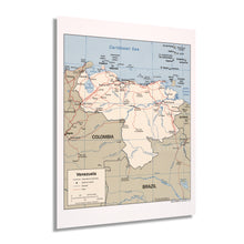
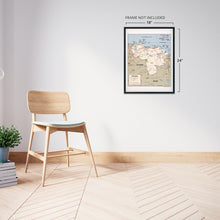
- HISTORIC PRINTS: You’ll love this high quality print of 2007 Venezuela Map Poster. Our museum quality prints are archival grade, which means it will look great and last without fading for over 100 years. Our print to order maps are made in the USA and each map is inspected for quality. Maps are great for education in the classroom. Maps also make for beautiful wall art in the home, study or office. A great gift for travelers or map enthusiasts.Â
- MUSEUM QUALITY: This high quality 2007 Map of Venezuela print will be a great addition to your wall art or classroom. Don't waste money on cheap-looking, thin paper posters. We use thick, fine art print quality matte paper. Our professional’s choice matte paper displays artwork in high detail without glare. The color is vibrant and text is easy to read. Our maps can be pinned on the wall or framed for a stunning look.
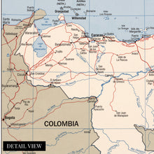
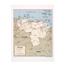
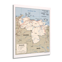
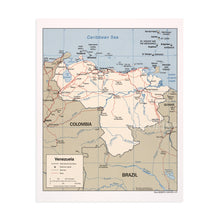
- ACCURATE MAP: Our map prints are utilized by academics, business people, and others looking for accurate, detailed maps. See our product description section for more fascinating information about this map and its significance.
- READY TO FRAME: This print includes a 0.2 inch border for a perfect frame fit and look. Our maps are designed to fit easy-to-find standard frame sizes, saving you money from having to pay for a custom frame. Each map is inspected for quality and shipped in a rigid tube.
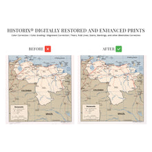
- HISTORIX: We love history and art. Sometimes old maps have tears, folds, separations and other blemishes. We digitally restore and enhance maps while keeping its historical character. All our maps are proudly made in the USA. Customers all over the world love our historic maps and we know you will too.
Â
Additional Information
Venezuela bears a rich history and distinct culture that blends indigenous traditions and beliefs with Spanish influences; the region came under Spanish control in 1522 and would remain a colony until the nation achieved independence in 1830. Venezuela was one of the first Spanish colonies to declare independence from colonial rule in 1811. However, the nineteenth century marked a period of political turmoil as military dictatorships competed for power. By the time of this maps publication, a popular movement had elected President Hugo Chavez. His central political beliefs returned control to the underrepresented rural regions of the country outside of the capital and urban centers.Â
The Central Intelligence Agency produces and maintains the most accurate geopolitical maps of nations across the globe to provide information for political and military leaders to develop and implement foreign policy and strategies. Their maps are immediately recognizable by their uniform style and characteristic minimalism. As boundaries and borders shift and evolve, the CIA monitors these developments to keep the most up-to-date records. As Venezuela entered the twenty-first century, major political division and an economic recession produced a turbulent environment throughout the nation.Â
The country contains some of the most vast reserves of oil on the planet, and the export industry is one of the leading economic drivers in Venezuela. This map depicts the nation in a period of significant transition politically, culturally, and economically as growing civil unrest created new demands for leadership and accountability at the highest levels of government.
Our museum quality giclee print comes printed with archival ink on premium heavyweight matte paper. Shipped in a sturdy cardboard tube your print will arrive ready to be framed. This eye-catching vintage map reproduction print makes the perfect gift for anyone that loves history and imagery.


