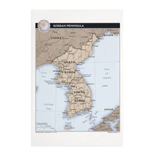
Feature Points
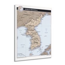
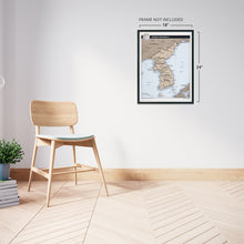
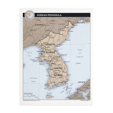
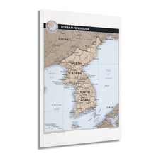
- HISTORIC PRINTS: You’ll love this high quality print of 2011 Korean Peninsula Map. Our museum quality prints are archival grade, which means it will look great and last without fading for over 100 years. Our print to order maps are made in the USA and each map is inspected for quality. Maps are great for education in the classroom. Maps also make for beautiful wall art in the home, study or office. A great gift for travelers or map enthusiasts.
- MUSEUM QUALITY: This high quality map print of 2011 Korea Map Poster will be a great addition to your wall art or classroom. Don't waste money on cheap-looking, thin paper posters. We use thick, fine art print quality matte paper. Our professional’s choice matte paper displays artwork in high detail without glare. The color is vibrant and text is easy to read. Our maps can be pinned on the wall or framed for a stunning look.
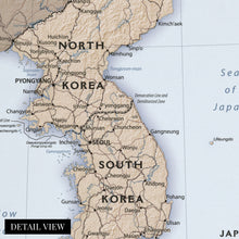
- ACCURATE MAP: Our map prints are utilized by academics, business people, and others looking for accurate, detailed maps. See our product description section for more fascinating information about this map and its significance.
- READY TO FRAME: This print includes a 0.2 inch border for a perfect frame fit and look. Our maps are designed to fit easy-to-find standard frame sizes, saving you money from having to pay for a custom frame. Each map is inspected for quality and shipped in a rigid tube.
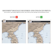
- HISTORIX: We love history and art. Sometimes old maps have tears, folds, separations and other blemishes. We digitally restore and enhance maps while keeping its historical character. All our maps are proudly made in the USA. Customers all over the world love our historic maps and we know you will too.
Additional Information
The Korean Peninsula bears a rich history and distinct culture dating back to the first millennium. The Peninsula gained freedom from Japanese rule following their surrender following the conclusion of the Pacific Theater in World War II. This marked a period of conflict between the North and South that resulted in decades of destabilization and warfare throughout Southeast Asia, culminating in the Vietnam War. In 1950 the Soviet-backed North invaded the South and sparked the Korean War, which would last for three years and has never officially ended though an agreement was reached in 2018 to begin talks of ending the conflict.
The Central Intelligence Agency has produced the most accurate and up-to-date geopolitical maps since 1941. These maps are distinguished by a cohesive aesthetic with a minimal style and are utilized by political and military leaders to develop and implement foreign policy and strategy. CIA maps document evolving boundaries, borders, and political divisions and remain vital pieces of international cartographic history. By the early twenty-first century, South Korea had become an economic, and cultural center for Southeast Asia. In contrast, decades of isolationist policies saw North Korea remain a predominantly agricultural nation with reliance on aid from China and Russia.Â
Seoul is the largest metropolitan region in South Korea. It is home to nearly ten million residents, and supports a thriving technology industry that leads innovation. South Korea elected democratic leadership in 1987 following widespread protests by workers ending the authoritarian rule that had been established in 1948.
Our museum quality giclee print comes printed with archival ink on premium heavyweight matte paper. Shipped in a sturdy cardboard tube your print will arrive ready to be framed. This eye-catching vintage map reproduction print makes the perfect gift for anyone that loves history and imagery.


