Feature Points
- HISTORIC PRINTS: You’ll love this high quality print of 2015 Spratly Islands Map of Southeast Asia. Our museum quality prints are archival grade, which means it will look great and last without fading for over 100 years. Our print to order maps are made in the USA and each map is inspected for quality. Maps are great for education in the classroom. Maps also make for beautiful wall art in the home, study or office. A great gift for travelers or map enthusiasts.
- MUSEUM QUALITY: This high quality map print will be a great addition to your wall art or classroom. Don't waste money on cheap-looking, thin paper posters. We use thick, fine art print quality matte paper. Our professional’s choice matte paper displays artwork in high detail without glare. The color is vibrant and text is easy to read. Our maps can be pinned on the wall or framed for a stunning look.
- ACCURATE MAP: These map prints of 2015 Spratly Islands Map of SE Asia are utilized by academics, business people, and others looking for accurate, detailed maps. See our product description section for more fascinating information about this map and its significance.
- READY TO FRAME: This print includes a 0.2 inch border for a perfect frame fit and look. Our maps are designed to fit easy-to-find standard frame sizes, saving you money from having to pay for a custom frame. Each map is inspected for quality and shipped in a rigid tube.
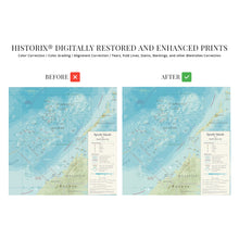
- HISTORIX: We love history and art. Sometimes old maps have tears, folds, separations and other blemishes. We digitally restore and enhance maps while keeping its historical character. All our maps are proudly made in the USA. Customers all over the world love our historic maps and we know you will too.
Additional Information
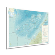
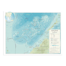
As part of strategic shipping lanes and one of the major archipelagos in the South China Sea, the landmass contains less than 490 acres spread over more than one hundred and sixty-four thousand miles of ocean and is among the most remote sites in the world. They are primarily uninhabited though nearly all islands have some military structure for varying international interests, including Malaysia, Taiwan, China, the Philippines, and Vietnam. They remain significant economic drivers with commercial fishing, although their political control has been widely disputed since the late nineteenth century.
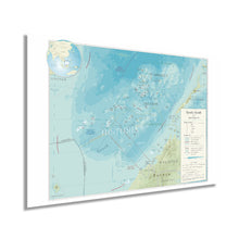
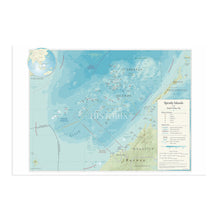
This map was produced by the United States Department of State in the year preceding the 2016 arbitration. This diplomatic issue settled a dispute between the Philippines and China, however sovereign rule still remains unresolved. This map lays out the numerous claims to the different atolls, cays, and other pieces of land in this vast expanse and outlines disputed territories and international claims of sovereignty. It also illustrates the natural features, including reefs and lands that are exposed during tidal events. The Spratly Islands remain one of the most untouched marine sites, and efforts to preserve the region have increased as oil exploration has begun to threaten wildlife and coral reefs.Â
This is an authentic piece of International cartographical history that represents the ongoing disputes for sovereignty and bears a traditional design and aesthetic. As the South China Sea is further explored, its economy has shifted to attracting tourists eager to explore the untouched reefs and natural features.
Our museum quality giclee print comes printed with archival ink on premium heavyweight matte paper. Shipped in a sturdy cardboard tube your print will arrive ready to be framed. This eye-catching vintage map reproduction print makes the perfect gift for anyone that loves history and imagery.


