Feature Points
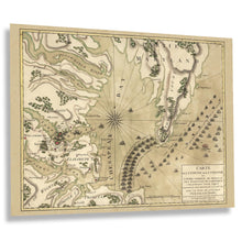
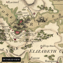
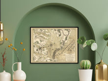
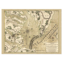
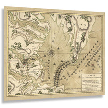
- VINTAGE MAP REPRODUCTION: You'll love this high quality historic reproduction of 1781 Yorktown Virginia Map Print. Our museum quality prints are archival grade, which means it will look great and last without fading for over 100 years. Our print to order maps are made in the USA and each map is inspected for quality. This beautiful artwork is a perfect addition to your themed decor. Vintage maps look great in the home, study or office. They make a perfect gift as well.
- MUSEUM QUALITY: This high quality map print will be a great addition to your vintage-themed wall. Don't waste money on cheap-looking, thin paper posters. We use thick, fine art print quality matte paper. Our professional's choice matte paper displays artwork in high detail without glare. The color is vibrant and text is easy to read. When framed, this map looks absolutely stunning.
- A LOOK BACK AT HISTORY: This is an impressive, historic reproduction of 1781 Vintage Map of Virginia. A true piece of history. See our product description section for more fascinating information about this historic map and its significance.
- READY TO FRAME: This print includes a 0.2 inch border for a perfect frame fit and look. Our maps are designed to fit easy-to-find standard frame sizes, saving you money from having to pay for a custom frame. Each map is inspected for quality and shipped in a rigid tube.
- HISTORIX: We love history and art. Sometimes old maps have tears, folds, separations and other blemishes. We digitally restore and enhance maps while keeping its historical character. All our maps are proudly made in the USA. Customers all over the world love our vintage maps and we know you will too.
Additional Information
With a history that dates back to 1682, Yorktown, Virginia, is one of the original eight colonies that would eventually become part of the United States. The town is most famous for being the site where future President George Washington, along with the French fleet, defeated British General Charles Cornwallis in 1781 during the American Revolutionary War. Washington's successful siege marked the decisive surrender of the war and is widely considered the final blow to British colonial rule in America. This map, produced in 1781, bears a distinctive aesthetic and classic style that immediately transports the viewer back in time, creating an indelible bond between the past and present.
Yorktown later became an important hub for supplies during the American Civil War, with its strategic value depending on whether Union or Confederate forces controlled the region. Provisions and agricultural products were transported through Yorktown to nearby towns, aided by its proximity to the Potomac River and Chesapeake Bay. By 1691, Yorktown had already become a thriving port, exporting tobacco to European markets. Lawyer Thomas Ballard and Joseph Ring were among its early founders, with Ring overseeing much of the city's trade.
Because it could accommodate larger vessels than many other ports in early America, Yorktown developed into a prominent center for trade, creating significant economic prosperity. This map is an authentic piece of eighteenth-century cartographical history.


